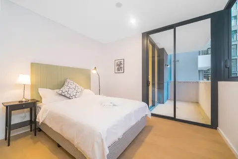
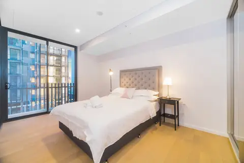
Zetland
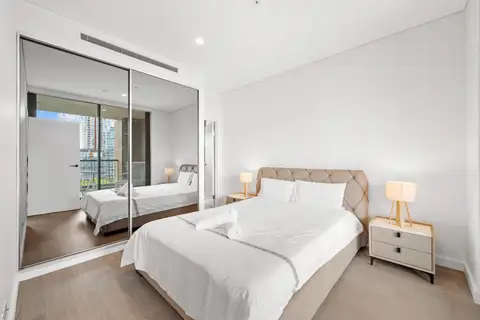
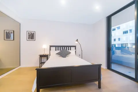
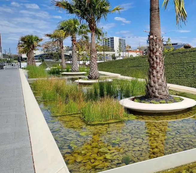
Zetland is the heart of Green Square, one of Sydney's newest neighbourhoods: tree-lined streets of new apartments, the East Village shopping centre, a striking library, and big parks with an aquatic centre.
Green Square station has trains to Central in about seven minutes and to the airport in five, which makes Zetland a favourite for corporate stays and anyone who flies a lot.
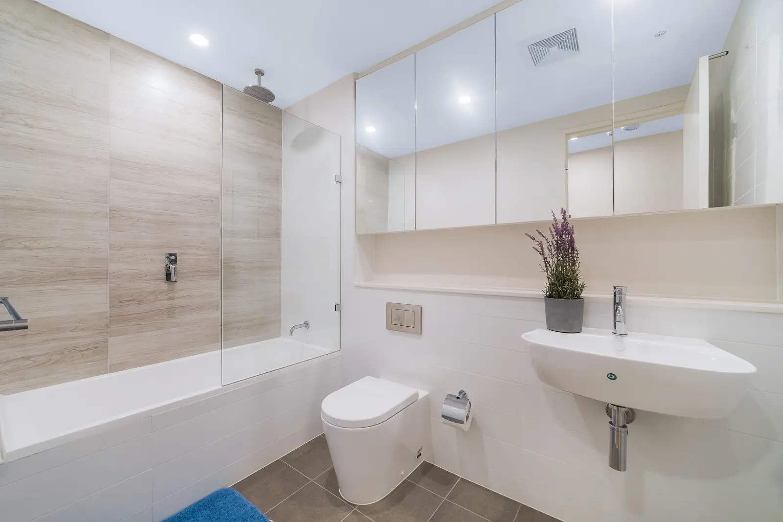
See 2 apartments in Zetland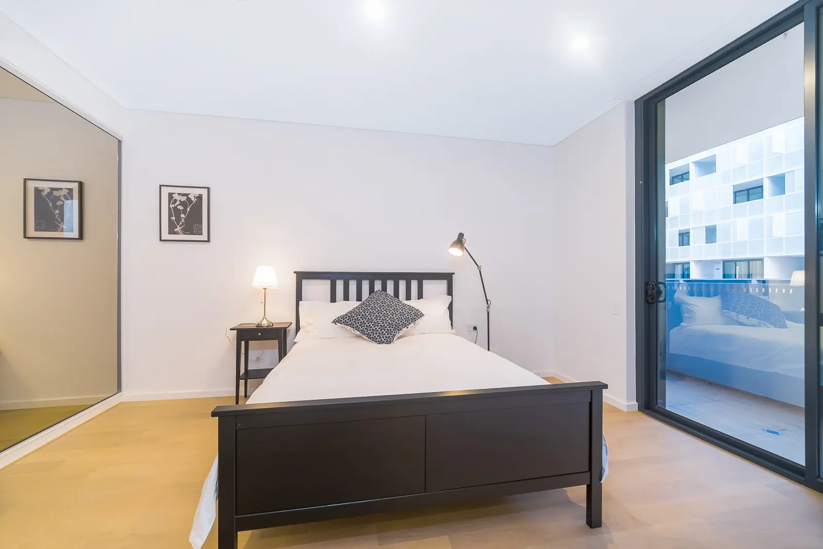
- To the city
- 7 minby train to Central
- To the airport
- 5 minby train from Green Square
- Groceries
- East Villagesupermarkets and a pharmacy
- For children
- Gunyama Parka huge new playground
Zetland in 3D
Gold circles show our apartments’ approximate locations, with the shops, cafés, stops and parks near them. Choose a place to see what it is and how to get there, turn the map with two fingers or the right mouse button, or step back to see where Zetland sits in Sydney.
The 3D map of Zetland
The map’s pictures come from OpenFreeMap, which sees your internet address like any site you visit.
Each gold circle is the approximate location of our apartments there. Tap its arch for the apartments, and for dashed rings of about a 5 and a 10 minute walk. Orange lines are trains, teal the Metro, red the light rail and dashed green the ferries.
Everyday places near our apartments
Near our apartments on Paul Street 27 places
- CaféDaydream SweetUnder 5 min walk
- RestaurantSaigon SummerUnder 5 min walk
- ParkThe Drying GreenUnder 5 min walk
- CaféBukuUnder 5 min walk
- RestaurantUncle WangUnder 5 min walk
- RestaurantSangUnder 5 min walk
- Bus stopJoynton Av opp Gunyama Park Aquatic and Recreation CentreUnder 5 min walk
- ParkMatron Ruby Grant ParkUnder 5 min walk
- CaféSkim Fade CoffeeUnder 5 min walk
- Bus stopGunyama Park Aquatic and Recreation Centre, Joynton AvUnder 5 min walk
- SupermarketWoolworths MetroUnder 5 min walk
- LaundromatLG Laundry LoungeUnder 5 min walk
- LibraryGreen Square LibraryUnder 5 min walk
- TakeawayArthur's PizzaUnder 5 min walk
- TakeawayBlack and Gold BurgersUnder 5 min walk
- Convenience storeRosebery Convenience StoreUnder 5 min walk
- SupermarketVictoria Park Supermarket5–10 min walk
- StationGreen Square5–10 min walk
- Pub or barRosebery Hotel5–10 min walk
- PharmacyRothschild Avenue Pharmacy5–10 min walk
- BankWestpac5–10 min walk
- DoctorGreen Square Medical Practice10–15 min walk
- BakeryJ Ceres10–15 min walk
- PlaygroundGarraway Park Playground10–15 min walk
- Shopping centreEast Village10–15 min walk
- Post officeAlexandria Business CentreUnder 5 min drive
- StationWaterloo15–20 min walk
Near our apartments on Paul Street (another building) 26 places
- CaféAllpress EspressoUnder 5 min walk
- LaundromatLG Laundry LoungeUnder 5 min walk
- Bus stopEpsom Rd at Dunning AvUnder 5 min walk
- RestaurantHigh n DryUnder 5 min walk
- RestaurantSaigon SummerUnder 5 min walk
- TakeawayArthur's PizzaUnder 5 min walk
- CaféBukuUnder 5 min walk
- CaféDaydream SweetUnder 5 min walk
- Bus stopEpsom Rd before Dunning AvUnder 5 min walk
- RestaurantTo Thai ForUnder 5 min walk
- ParkMatron Ruby Grant ParkUnder 5 min walk
- TakeawayBrazilian Flame Meats and BarbequeUnder 5 min walk
- Pub or barRosebery HotelUnder 5 min walk
- ParkThe Drying GreenUnder 5 min walk
- Convenience storeRosebery Convenience StoreUnder 5 min walk
- LibraryGreen Square LibraryUnder 5 min walk
- SupermarketWoolworths Metro5–10 min walk
- StationGreen Square5–10 min walk
- SupermarketMiracle Supermarket5–10 min walk
- PharmacyRothschild Avenue Pharmacy5–10 min walk
- DoctorRosebery Family Practice5–10 min walk
- BankWestpac10–15 min walk
- PlaygroundGarraway Park Playground10–15 min walk
- Shopping centreEast Village10–15 min walk
- Post officeAlexandria Business Centre10–15 min walk
- StationWaterlooUnder 5 min drive
Walking and driving times are approximate, from the circles on the map. The places come from OpenStreetMap: check opening hours before you go.
Eat & drink
-
Cafe Portman
CaféA bright local café for breakfast and lunch.
-
Allpress Espresso
CaféThe New Zealand roaster's café, with coffee roasted nearby.
-
Social Society
CaféAll-day brunch near the parks.
-
Lucio Pizzeria
PizzaNeapolitan-style pizza at East Village.
-
f(x)
BarA café and bar on the Green Square library plaza.
-
Zetland Hotel
PubA local pub with a bistro.
Shops & everyday
-
East Village
Shopping centreSupermarkets, a pharmacy, a medical practice, a gym and places to eat.
-
Woolworths Metro
GroceriesA smaller supermarket for the everyday shop.
-
Green Square Library
LibraryAn award-winning library, mostly underground, with study spaces and free Wi-Fi.
-
Green Square Medical Practice
DoctorA general practice at East Village.
-
Prince of Wales Hospital
HospitalThe nearest major hospital with an emergency department, in Randwick. In an emergency call 000.
Getting around
-
Green Square station
TrainsAirport line trains: about seven minutes to Central and five to the domestic terminal. The airport stations charge an access fee on top of the fare.
-
Waterloo station
MetroMetro to Central, the CBD, North Sydney and Chatswood, about 15 minutes on foot.
-
Green Square to Central cycleway
BikeA separated cycleway towards the city.
-
Buses
BusBuses on Botany Road and Joynton Avenue to the city, Bondi Junction and the airport.
Things to do
-
Gunyama Park Aquatic and Recreation Centre
Pool and gymA 50-metre outdoor pool, indoor pools, a gym and a sports field.
-
Gunyama Park playground
PlaygroundOne of Sydney's biggest playgrounds, opened in 2026: tube slides, a flying fox, trampolines, water play and a skate plaza, with lawns, barbecues and toilets.
-
Joynton Park
ParkA green space for picnics, exercise or a quiet rest.
-
Moore Park and Centennial Park
ParksGolf, sports fields, cycling and picnics, 10 minutes away.
-
Sydney Park
ParkHills, wetlands and a cycling track, a short drive west.