Wentworth Point
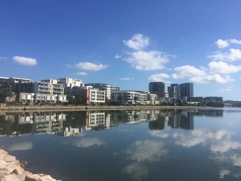
Wentworth Point is a new waterfront suburb on the Parramatta River, between Homebush Bay and Sydney Olympic Park: apartment towers, foreshore paths and parks, with Marina Square's shops and restaurants in the middle.
The Bennelong Bridge crosses the bay to Rhodes station, and ferries leave from the wharf at the end of the peninsula for Circular Quay and Parramatta.
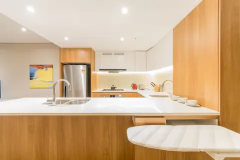
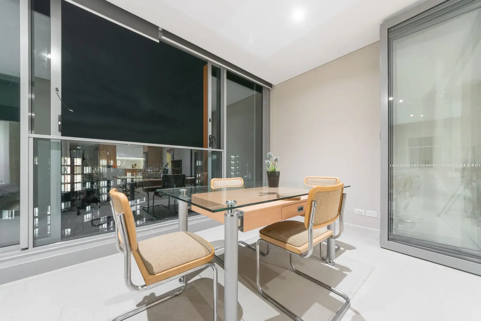
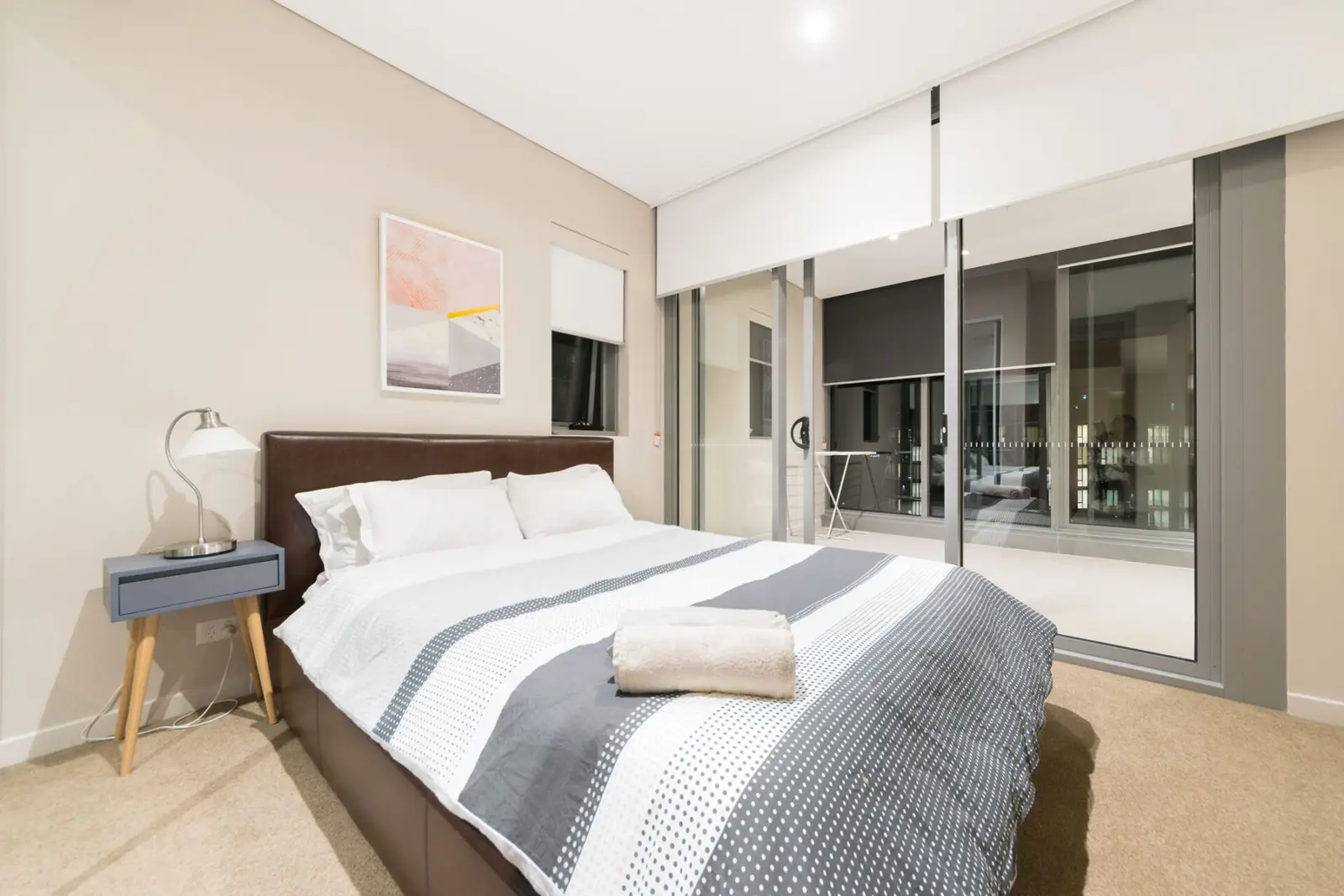
See 1 apartment in Wentworth Point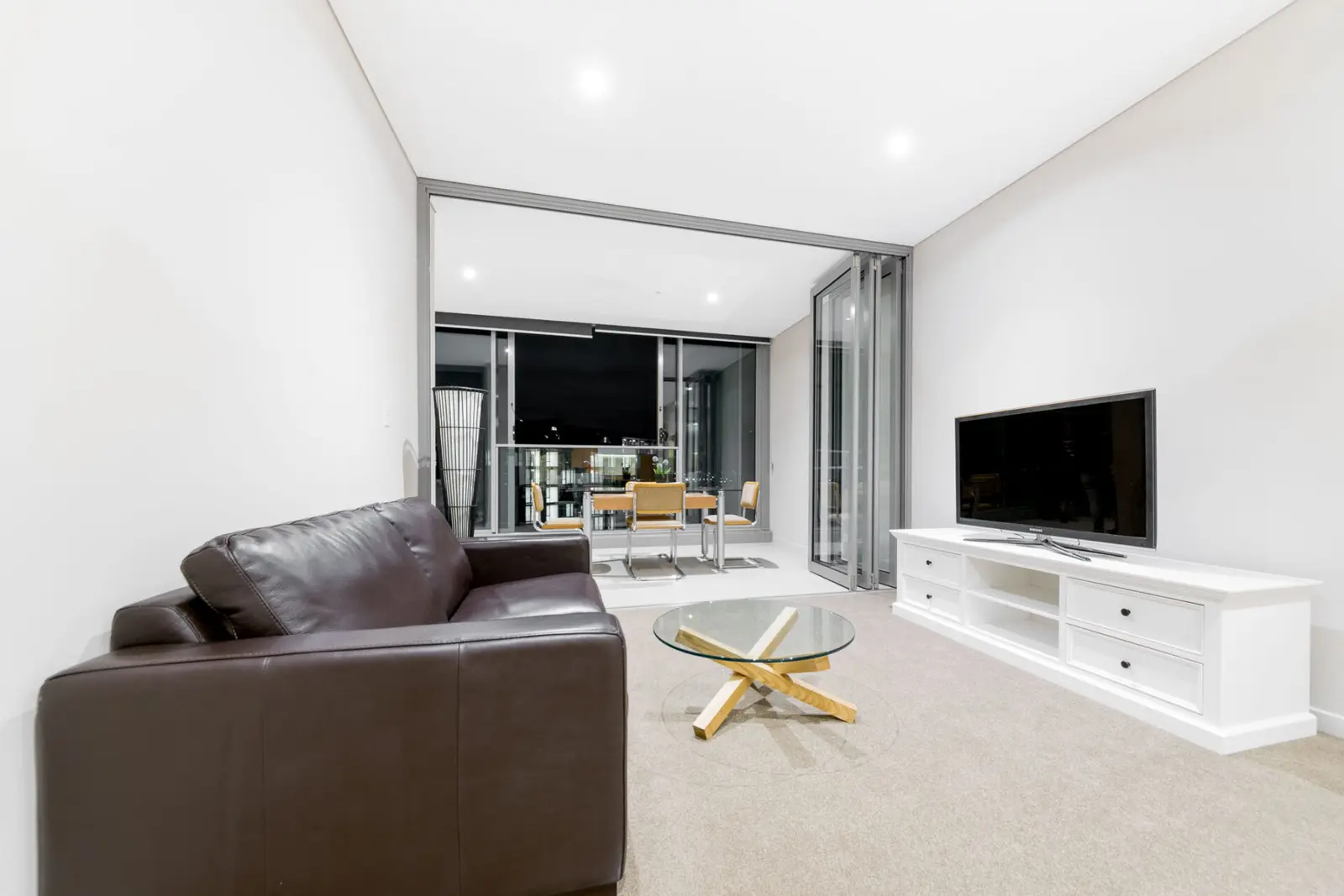
- To the city
- 40 minvia Rhodes station
- Ferry
- Circular Quayfrom the local wharf
- Groceries
- Colesat Marina Square
- Next door
- Olympic Parkparklands and stadiums
Wentworth Point in 3D
Gold circles show our apartments’ approximate locations, with the shops, cafés, stops and parks near them. Choose a place to see what it is and how to get there, turn the map with two fingers or the right mouse button, or step back to see where Wentworth Point sits in Sydney.
The 3D map of Wentworth Point
The map’s pictures come from OpenFreeMap, which sees your internet address like any site you visit.
Each gold circle is the approximate location of our apartments there. Tap its arch for the apartments, and for dashed rings of about a 5 and a 10 minute walk. Orange lines are trains, teal the Metro, red the light rail and dashed green the ferries.
Everyday places near our apartments
Near our apartments on Footbridge Boulevard 19 places
- CaféCafe BrosUnder 5 min walk
- RestaurantLola’s TableUnder 5 min walk
- RestaurantBosphorusUnder 5 min walk
- RestaurantBurger PointUnder 5 min walk
- LibraryWentworth Point Community Centre & LibraryUnder 5 min walk
- CaféLeaf CafeUnder 5 min walk
- Pub or barThe Dancing BearUnder 5 min walk
- Bus stopMarina Square, Footbridge BvdUnder 5 min walk
- Bus stopFootbridge Bvd opp Marina SquareUnder 5 min walk
- SupermarketZetciti Asian GroceryUnder 5 min walk
- Shopping centreMarina SquareUnder 5 min walk
- SupermarketColesUnder 5 min walk
- PharmacyWaterfront Pharmacy PiersideUnder 5 min walk
- CaféPier Point Cafe5–10 min walk
- Convenience storeEzyMart5–10 min walk
- Ferry wharfSydney Olympic Park5–10 min walk
- ParkStromboli Park10–15 min walk
- ParkBay Park10–15 min walk
- DoctorWaterfront Medical Centre10–15 min walk
Walking and driving times are approximate, from the circles on the map. The places come from OpenStreetMap: check opening hours before you go.
Eat & drink
-
Baiboon Thai
ThaiThai dishes on The Piazza.
-
Burger Point
BurgersBurgers and fries.
-
On Point The Piazza Cafe
CaféBreakfast, lunch and coffee.
-
Lola's Table
Mexican and FilipinoMexican and Filipino dishes.
-
Bosphorus
TurkishTurkish dishes.
-
Concerto
ItalianItalian dishes on The Piazza.
Shops & everyday
-
Marina Square
Shopping centreColes and about 45 shops and restaurants.
-
Wentworth Point Community Centre and Library
LibraryA library and community centre with free Wi-Fi.
-
Waterfront Pharmacy
PharmacyTwo pharmacies in the suburb.
-
Concord Hospital
HospitalThe nearest public hospital with an emergency department, across the bay, about 10 minutes by car. In an emergency call 000.
Getting around
-
Bennelong Bridge
Walk, bike or busA bridge for buses, bikes and walkers across Homebush Bay to Rhodes, for trains to the city.
-
Ferry
FerryParramatta River ferries to Circular Quay and Parramatta from the Sydney Olympic Park wharf.
-
Rhodes station
TrainsTrains to the city in about 25 minutes, and to Strathfield and Hornsby.
-
Sydney Airport
AirportAbout 30 minutes by car or taxi.
Things to do
-
Foreshore paths
WalkWaterfront paths along Homebush Bay and the river, joining Olympic Park's parklands.
-
Blaxland Riverside Park
PlaygroundA big riverside playground with water play, next door in Olympic Park.
-
Bicentennial Park
ParkWetlands, lawns and boardwalks, a short ride away.
-
Rhodes waterfront
Walk and eatRestaurants and the Kokoda Track Memorial Walkway, over the bridge.