Roseville
Roseville is a quiet, leafy suburb at the start of the Upper North Shore, with a small village of cafés and restaurants and a much-loved local cinema around its station, and Chatswood's shopping centres one stop away.
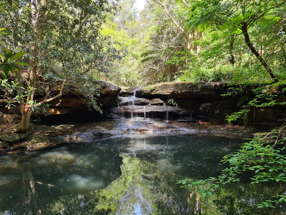
The city is about 20 minutes by train, and to the east the bush runs down to Middle Harbour, where the Two Creeks Track ends at Roseville Bridge.
See 2 apartments in Roseville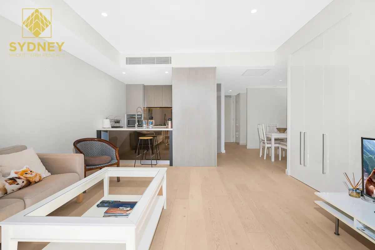
- To the city
- 20 minby train to Wynyard
- To Chatswood
- 3 minone stop by train
- Cinema
- Roseville Cinemason the Pacific Highway
- Groceries
- Chatswoodor Lindfield, one stop away
Roseville in 3D
Gold circles show our apartments’ approximate locations, with the shops, cafés, stops and parks near them. Choose a place to see what it is and how to get there, turn the map with two fingers or the right mouse button, or step back to see where Roseville sits in Sydney.
The 3D map of Roseville
The map’s pictures come from OpenFreeMap, which sees your internet address like any site you visit.
Each gold circle is the approximate location of our apartments there. Tap its arch for the apartments, and for dashed rings of about a 5 and a 10 minute walk. Orange lines are trains, teal the Metro, red the light rail and dashed green the ferries.
Everyday places near our apartments
Near our apartments on Victoria Street 21 places
- Bus stopBoundary St before Archer StUnder 5 min walk
- Bus stopHill St at Victoria StUnder 5 min walk
- Convenience storeMagda's Euro DelicatessenUnder 5 min walk
- CaféCafe NateUnder 5 min walk
- ParkBancroft ParkUnder 5 min walk
- CaféCalibrate CoffeeUnder 5 min walk
- CaféHill St BeansUnder 5 min walk
- ParkRoseville Memorial Park5–10 min walk
- RestaurantRashmin Indian Nepalese Restaurant5–10 min walk
- StationRoseville5–10 min walk
- PharmacyNorth Shore Pharmacy Roseville5–10 min walk
- RestaurantThai Skybar5–10 min walk
- Post officeRoseville Post Office5–10 min walk
- RestaurantShonan Japanese Kitchen5–10 min walk
- BakerySlowbreads Bakery5–10 min walk
- DoctorHill Street Health Hub (Roseville)5–10 min walk
- Playground3-6 Playground10–15 min walk
- SupermarketYoung MartUnder 5 min drive
- Shopping centreChatswood Chase Shopping CentreUnder 5 min drive
- LibraryChatswood LibraryUnder 5 min drive
- StationChatswoodUnder 5 min drive
Walking and driving times are approximate, from the circles on the map. The places come from OpenStreetMap: check opening hours before you go.
Eat & drink
-
Calibrate Coffee
CaféSpecialty coffee and brunch.
-
Hill St Beans
CaféBreakfast, sandwiches and cakes.
-
El Karim
LebaneseA Lebanese restaurant.
-
Pizza Olla
PizzaPizza and Italian dishes.
-
Ms Right
ChineseChinese dishes.
Shops & everyday
-
Roseville village
EverydayCafés, a pharmacy and small shops around the station, on Hill Street and the Pacific Highway.
-
Supermarkets
GroceriesOne stop by train: Woolworths, Coles and Aldi in Chatswood's shopping centres, or Harris Farm and Coles in Lindfield.
-
Roseville Post Office
Post officeParcels, mail and bill paying.
-
Royal North Shore Hospital
HospitalThe nearest major hospital with an emergency department, in St Leonards, about 10 minutes by car. In an emergency call 000.
Getting around
-
Roseville station
TrainsNorth Shore line trains: Chatswood in 3 minutes (change there for the Metro), North Sydney and Wynyard in about 20, and Hornsby to the north.
-
Sydney Airport
AirportAbout 35 minutes by car or taxi.
Things to do
-
Roseville Cinemas
CinemaA local cinema showing new releases.
-
Roseville Park
ParkSports fields, seven tennis courts, a playground, barbecues and an off-leash dog area.
-
Two Creeks Track
BushwalkA 6 km track from East Lindfield along Gordon Creek to Middle Harbour, ending at Roseville Bridge. Moderate, with steep sections.