Rhodes
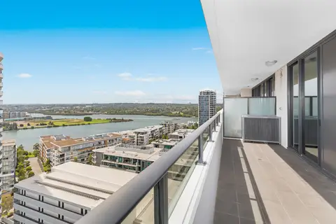
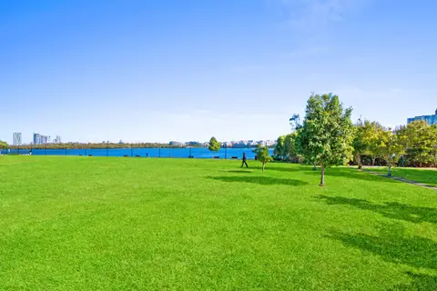
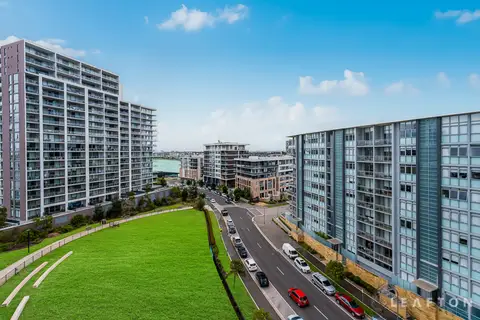
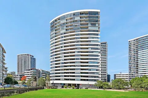
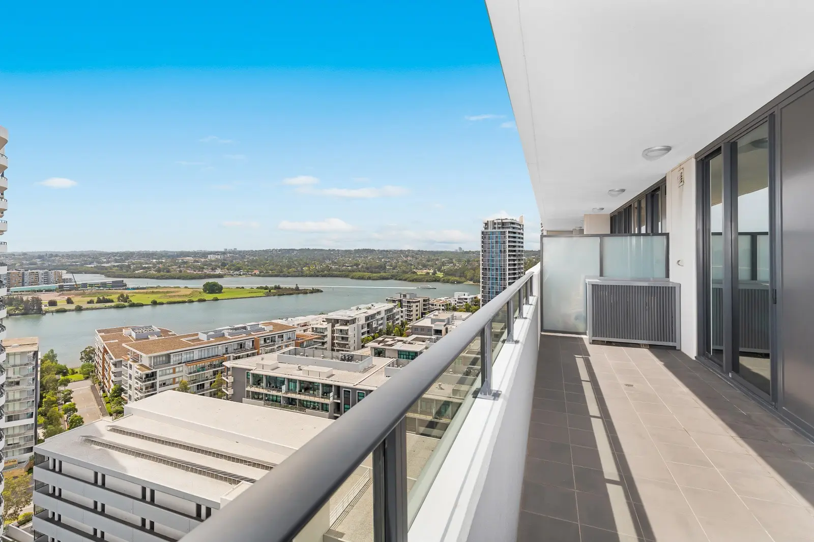
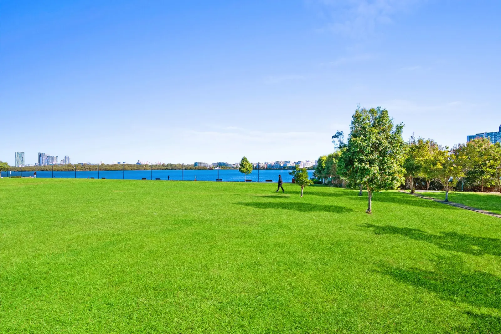
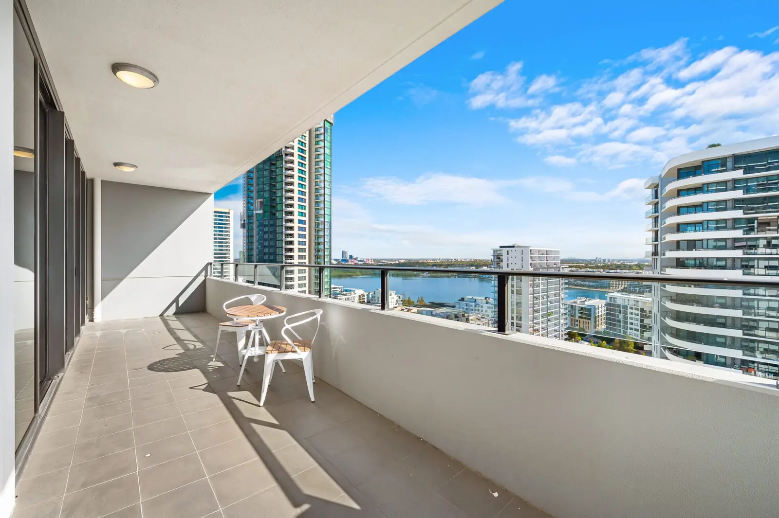
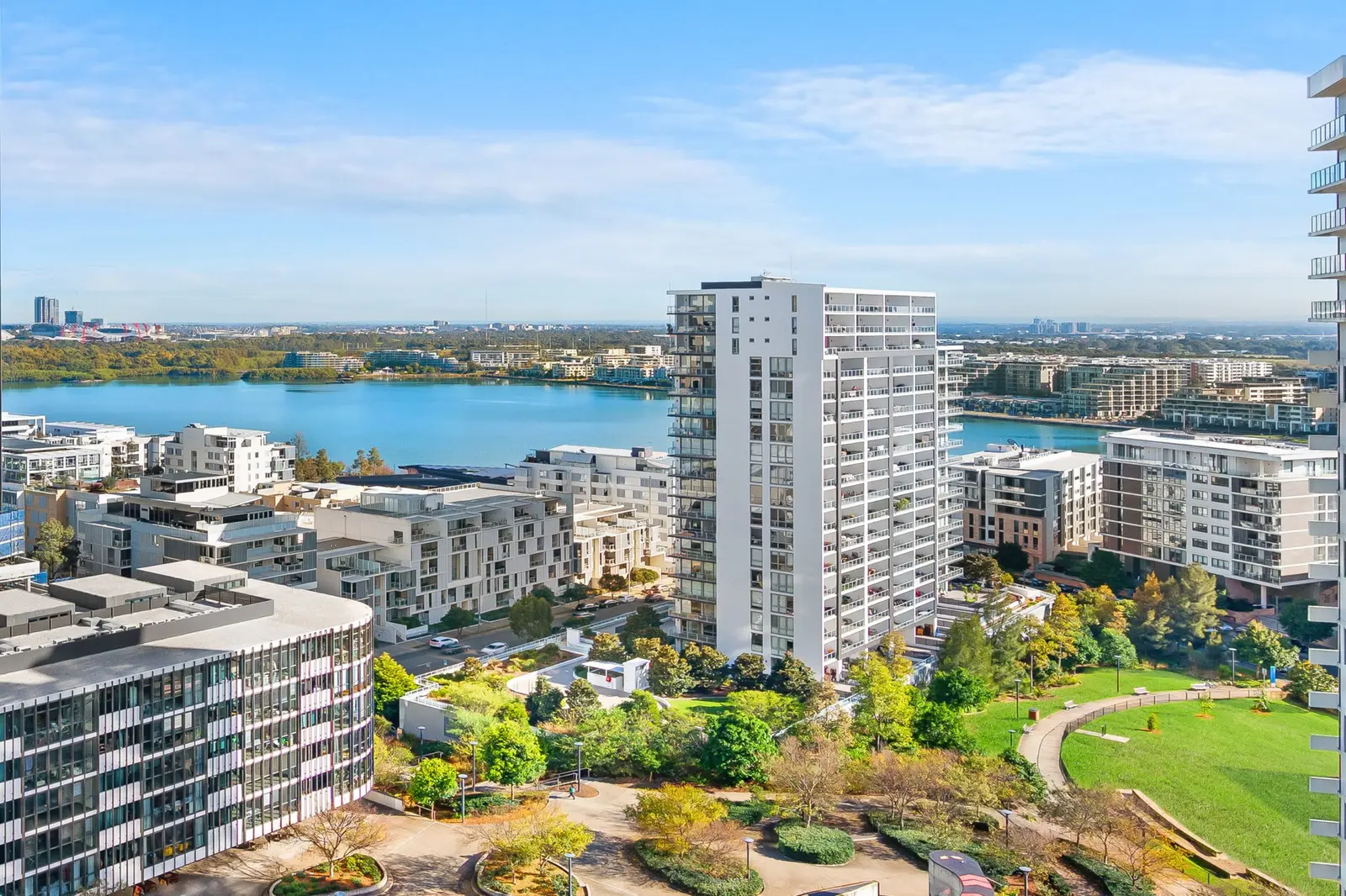
Rhodes is a modern waterfront suburb on Homebush Bay, built around its train station and two shopping centres. The foreshore paths, the Kokoda Track Memorial Walkway and the bridge to Wentworth Point make it a pleasant place for an evening walk.
It suits corporate guests and families visiting nearby Concord Hospital, with trains to the city and a wide choice of Asian restaurants on the doorstep.
See 3 apartments in Rhodes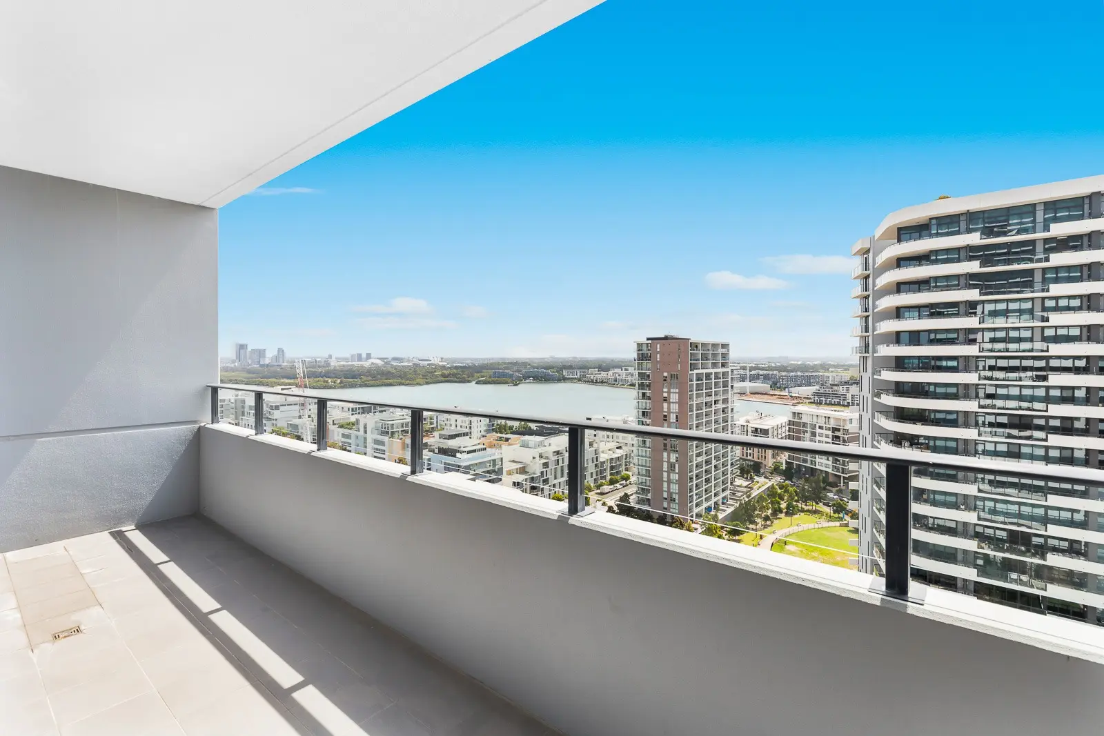
- To the city
- 25 minby train to Central
- Groceries
- Rhodes Watersideand Rhodes Central
- Hospital
- Concordabout 5 minutes by car
- To the airport
- 30 minby car or taxi
Rhodes in 3D
Gold circles show our apartments’ approximate locations, with the shops, cafés, stops and parks near them. Choose a place to see what it is and how to get there, turn the map with two fingers or the right mouse button, or step back to see where Rhodes sits in Sydney.
The 3D map of Rhodes
The map’s pictures come from OpenFreeMap, which sees your internet address like any site you visit.
Each gold circle is the approximate location of our apartments there. Tap its arch for the apartments, and for dashed rings of about a 5 and a 10 minute walk. Orange lines are trains, teal the Metro, red the light rail and dashed green the ferries.
Everyday places near our apartments
Near our apartments on Shoreline Drive 21 places
- LibraryLearning SpaceUnder 5 min walk
- RestaurantBare WitnessUnder 5 min walk
- Bus stopGauthorpe St after Shoreline DrUnder 5 min walk
- Bus stopGauthorpe St before Shoreline DrUnder 5 min walk
- CaféLeft of FieldUnder 5 min walk
- ParkPhoenix ParkUnder 5 min walk
- ParkRhodes Foreshore ParkUnder 5 min walk
- PharmacyCincotta Discount ChemistUnder 5 min walk
- SupermarketWoolworths RhodesUnder 5 min walk
- CaféBaby BossUnder 5 min walk
- CaféAmpersandUnder 5 min walk
- RestaurantHong Kong Street FoodUnder 5 min walk
- Shopping centreRhodes CentralUnder 5 min walk
- RestaurantYasaka RamenUnder 5 min walk
- PlaygroundPeg Paterson Park Playground5–10 min walk
- TakeawayMcDonald's5–10 min walk
- StationRhodes5–10 min walk
- SupermarketOrange Supermarket5–10 min walk
- Convenience storeRhodes Mini-Mart and Café5–10 min walk
- BankCommonwealth Bank10–15 min walk
- Post officeRhodes Post Office10–15 min walk
Near our apartments on Walker Street 21 places
- ParkPhoenix ParkUnder 5 min walk
- CaféAmpersandUnder 5 min walk
- Bus stopGauthorpe St at Marquet StUnder 5 min walk
- Bus stopGauthorpe St opp Marquet StUnder 5 min walk
- CaféLeft of FieldUnder 5 min walk
- SupermarketWoolworths RhodesUnder 5 min walk
- PharmacyCincotta Discount ChemistUnder 5 min walk
- RestaurantHong Kong Street FoodUnder 5 min walk
- LibraryLearning SpaceUnder 5 min walk
- CaféBaby BossUnder 5 min walk
- RestaurantLilong by Taste of ShanghaiUnder 5 min walk
- Shopping centreRhodes CentralUnder 5 min walk
- RestaurantBare WitnessUnder 5 min walk
- StationRhodesUnder 5 min walk
- TakeawayMcDonald'sUnder 5 min walk
- ParkRhodes Foreshore Park5–10 min walk
- PlaygroundPeg Paterson Park Playground5–10 min walk
- SupermarketOrange Supermarket5–10 min walk
- Convenience storeRhodes Mini-Mart and Café5–10 min walk
- BankCommonwealth Bank10–15 min walk
- Post officeRhodes Post Office10–15 min walk
Near our apartments on Shoreline Drive (another building) 21 places
- ParkPhoenix ParkUnder 5 min walk
- Bus stopGauthorpe St opp Marquet StUnder 5 min walk
- Bus stopGauthorpe St at Marquet StUnder 5 min walk
- CaféAmpersandUnder 5 min walk
- CaféLeft of FieldUnder 5 min walk
- RestaurantBare WitnessUnder 5 min walk
- LibraryLearning SpaceUnder 5 min walk
- SupermarketWoolworths RhodesUnder 5 min walk
- PharmacyCincotta Discount ChemistUnder 5 min walk
- RestaurantHong Kong Street FoodUnder 5 min walk
- CaféBaby Boss5–10 min walk
- Shopping centreRhodes Central5–10 min walk
- RestaurantLilong by Taste of Shanghai5–10 min walk
- StationRhodes5–10 min walk
- TakeawayMcDonald's5–10 min walk
- ParkRhodes Foreshore Park5–10 min walk
- Convenience storeRhodes Mini-Mart and Café5–10 min walk
- PlaygroundPeg Paterson Park Playground5–10 min walk
- SupermarketOrange Supermarket5–10 min walk
- BankCommonwealth Bank10–15 min walk
- Post officeRhodes Post Office10–15 min walk
Walking and driving times are approximate, from the circles on the map. The places come from OpenStreetMap: check opening hours before you go.
Eat & drink
-
Left of Field
CaféA busy local café for breakfast and lunch.
-
Oliver Brown
CaféBelgian chocolate café: hot chocolate, crêpes and waffles.
-
Lilong by Taste of Shanghai
ChineseShanghainese dumplings and noodles.
-
Yasaka Ramen
JapaneseRich ramen bowls and Japanese snacks.
-
Andiamo Trattoria
ItalianPizza and pasta by the water.
-
Bare Witness
Café and barBrunch, dinner and drinks on the foreshore.
-
Rhodes Phoenix
ChineseYum cha and banquet dining with bay views.
-
Rhodes Waterside dining
Food courtKorean, Japanese, Malaysian and Thai counters and restaurants in the shopping centre.
Shops & everyday
-
Rhodes Waterside
Shopping centreColes, Kmart and plenty of places to eat, with IKEA next door.
-
Rhodes Central
Shopping centreWoolworths and everyday shops next to the station.
-
Rhodes Post Office
Post officeParcels, mail and bill paying.
-
The Learning Space
LibraryA free library and study space at The Connection.
-
Concord Hospital
HospitalA major public hospital with an emergency department, about 5 minutes away. In an emergency call 000.
Getting around
-
Rhodes station
TrainsNorthern Line trains: about 25 minutes to Central through Strathfield, and north to Epping and Hornsby.
-
Bennelong Bridge
Walk, bike and busA bridge for walkers, bikes and buses across the bay to Wentworth Point and the ferry.
-
Buses
BusBuses to Burwood, Strathfield, Macquarie Park and Sydney Olympic Park.
-
Sydney Airport
AirportAbout 30 minutes by car or taxi.
Things to do

-
Kokoda Track Memorial Walkway
WalkA bushland walk along Brays Bay with a memorial to the Kokoda campaign.
-
Rhodes foreshore
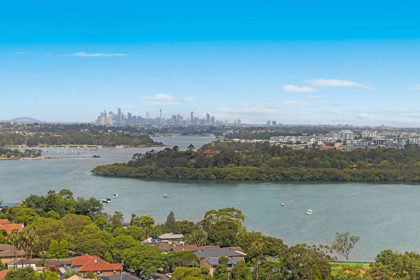
WalkPaths and parks along Homebush Bay, with playgrounds and city views at sunset.
-
Sydney Olympic Park
Parks and eventsStadiums, wetlands and cycling paths across the bay.
-
IKEA Rhodes
ShoppingHandy for setting up a longer stay, next to Rhodes Waterside.