Redfern
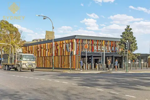
Redfern sits on the southern edge of the city. Central station, Surry Hills, Chippendale and the University of Sydney are all within walking distance, and Redfern Street and Regent Street are lined with cafés, wine bars and some of Sydney's best small restaurants.
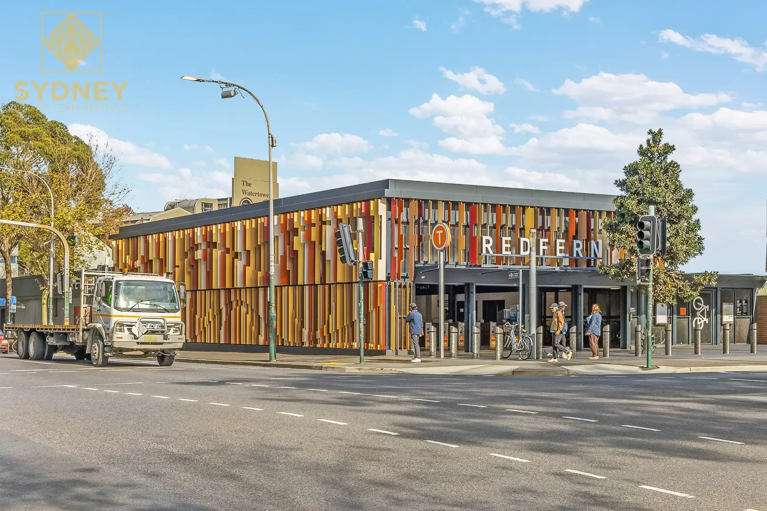
Almost every train line stops at Redfern station, two or three minutes from Central, so it's one of the easiest places in Sydney to live without a car. On Saturdays the farmers market at Carriageworks fills the old railway workshops.
See 7 apartments in Redfern
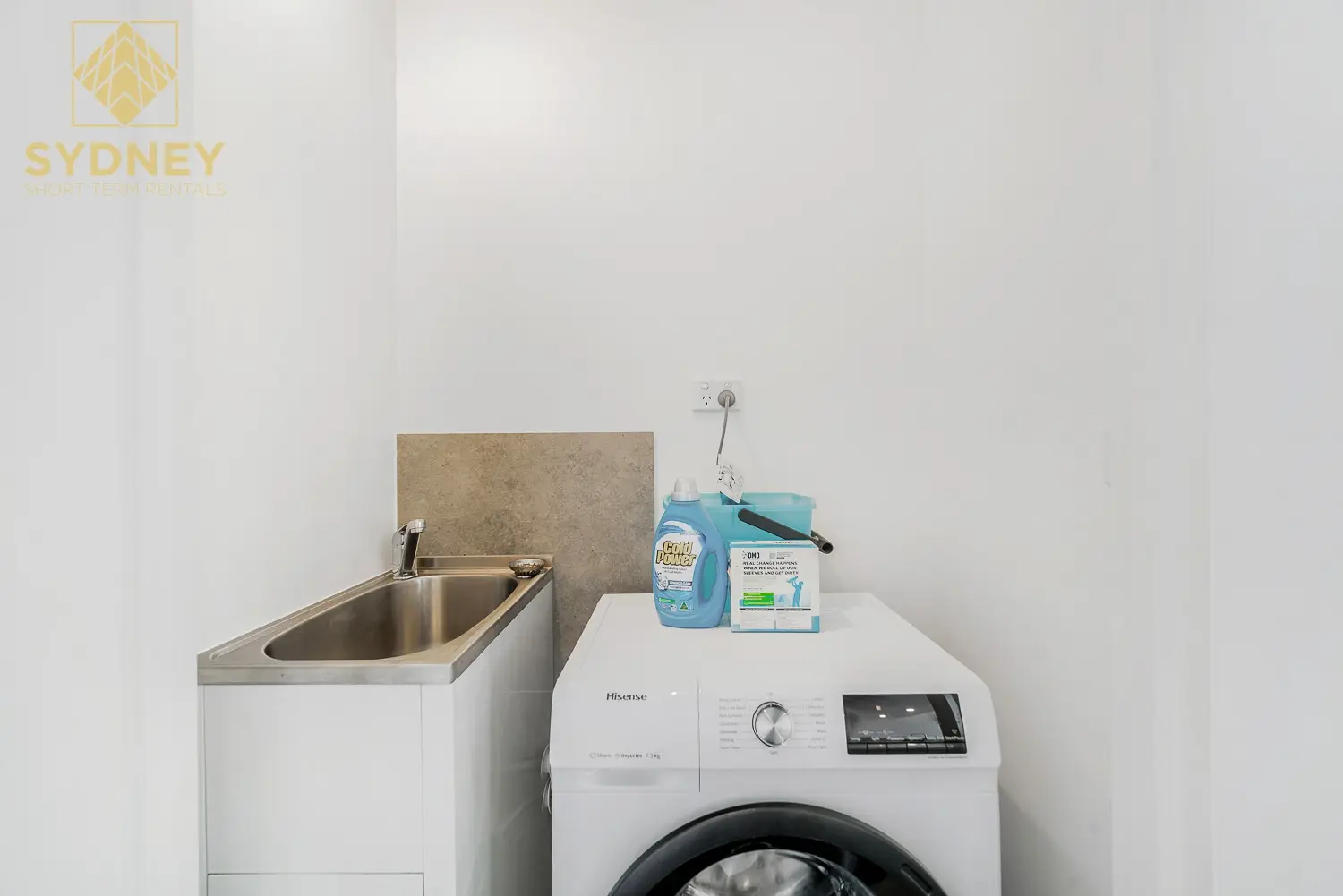
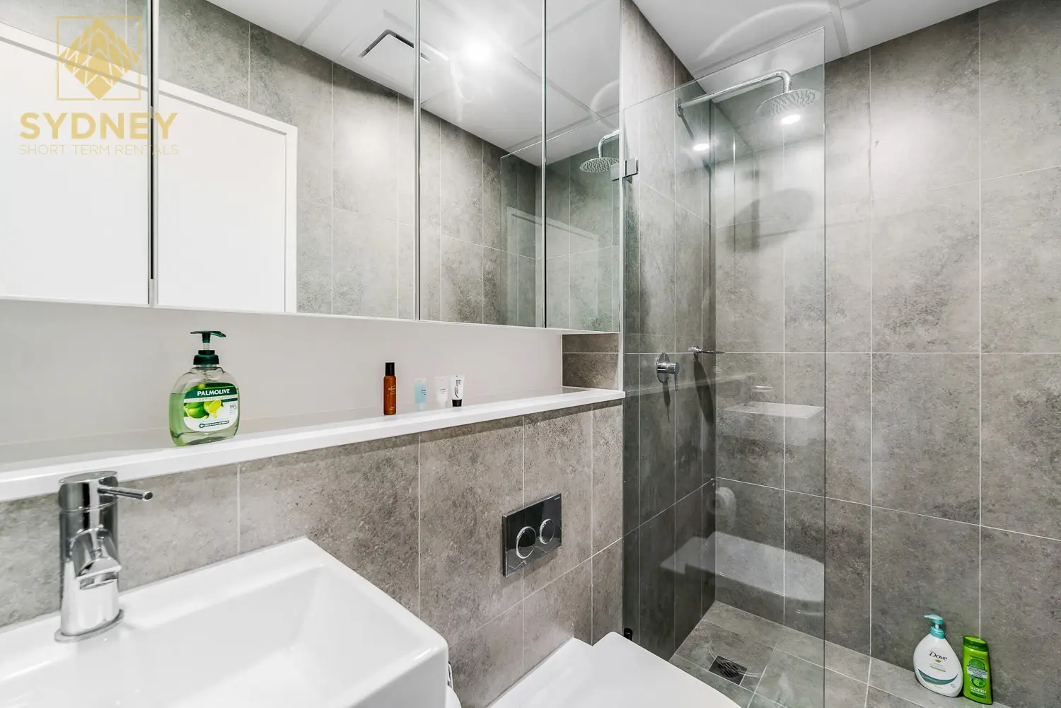
- To the city
- 5 minby train to Central or Town Hall
- To the airport
- 15 minby car or taxi
- Groceries
- Coles, Harris Farmand Woolworths
- On Saturdays
- Carriageworksfarmers market
Redfern in 3D
Gold circles show our apartments’ approximate locations, with the shops, cafés, stops and parks near them. Choose a place to see what it is and how to get there, turn the map with two fingers or the right mouse button, or step back to see where Redfern sits in Sydney.
The 3D map of Redfern
The map’s pictures come from OpenFreeMap, which sees your internet address like any site you visit.
Each gold circle is the approximate location of our apartments there. Tap its arch for the apartments, and for dashed rings of about a 5 and a 10 minute walk. Orange lines are trains, teal the Metro, red the light rail and dashed green the ferries.
Everyday places near our apartments
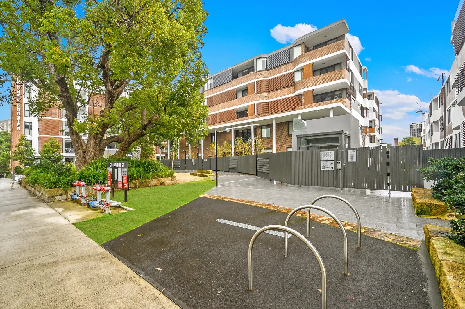
Near our apartments on Pitt Street 28 places
- ParkDouglas St Peoples PlaygroundUnder 5 min walk
- SupermarketWoolworthsUnder 5 min walk
- CaféRebels N MisfitsUnder 5 min walk
- Pub or barSomerset HotelUnder 5 min walk
- ParkRedfern ParkUnder 5 min walk
- PlaygroundBiami Sculpture ParkUnder 5 min walk
- RestaurantPitt St DinerUnder 5 min walk
- RestaurantWilson's Lebanese RestaurantUnder 5 min walk
- CaféCoffee Tea & MeUnder 5 min walk
- CaféHunter's CornerUnder 5 min walk
- Bus stopRedfern St at Pitt StUnder 5 min walk
- RestaurantMezepotamiaUnder 5 min walk
- BakeryBreadfern BakeryUnder 5 min walk
- SupermarketR & R ProvidoresUnder 5 min walk
- Bus stopElizabeth St before Phillip StUnder 5 min walk
- Fruit and vegMickey’s Fruit & VegUnder 5 min walk
- PharmacyClub PharmacyUnder 5 min walk
- DoctorRedfern Medical CentreUnder 5 min walk
- Convenience storeRedfern Convenience5–10 min walk
- TakeawaySweet Monster5–10 min walk
- TakeawayDomino's5–10 min walk
- Post officeRedfern Post Office5–10 min walk
- BankCommonwealth Bank5–10 min walk
- LaundromatBubbles Laundry5–10 min walk
- StationWaterloo5–10 min walk
- LibraryWaterloo Library5–10 min walk
- StationRedfern5–10 min walk
- Shopping centreCentral Park MallUnder 5 min drive
Near our apartments on Lawson Square 28 places
- LaundromatBubbles LaundryUnder 5 min walk
- Pub or barHustle & FlowUnder 5 min walk
- CaféThe Milk Bar by Cafe IshUnder 5 min walk
- RestaurantAttenzione Food & WineUnder 5 min walk
- Bus stopRedfern, Lawson Square nr Regent StreetUnder 5 min walk
- TakeawayMr. Charlie'sUnder 5 min walk
- Bus stopRedfern St after Regent StUnder 5 min walk
- CaféCocoUnder 5 min walk
- BakeryLittle FernUnder 5 min walk
- RestaurantLa DeaUnder 5 min walk
- Post officeRedfern Post OfficeUnder 5 min walk
- BankCommonwealth BankUnder 5 min walk
- RestaurantHuxtaburgerUnder 5 min walk
- SupermarketWoolworths MetroUnder 5 min walk
- TakeawayCamy's Chargrill ChickenUnder 5 min walk
- CaféThe Sorrel Cafe & KitchenUnder 5 min walk
- SupermarketFoodworksUnder 5 min walk
- Convenience storeRedfern ConvenienceUnder 5 min walk
- StationRedfernUnder 5 min walk
- PharmacyGold CrossUnder 5 min walk
- DoctorRedfern Medical CentreUnder 5 min walk
- ParkGibbons Street ReserveUnder 5 min walk
- ParkRedfern Community Centre Open SpaceUnder 5 min walk
- Fruit and vegMickey’s Fruit & VegUnder 5 min walk
- PlaygroundRedfern Community Center PlaygroundUnder 5 min walk
- StationWaterloo5–10 min walk
- LibraryJapan Foundation Library10–15 min walk
- Shopping centreCentral Park Mall10–15 min walk
Walking and driving times are approximate, from the circles on the map. The places come from OpenStreetMap: check opening hours before you go.
Eat & drink
-
Bush
AustralianAustraliana with a sense of humour: kangaroo pies, big cheeseburgers and fairy bread pudding.
-
La Coppola
PizzaSicilian-style pizza with a crisp base and blistered edges.
-
Club Fontana
ItalianRegional Italian cooking and natural wines, up a red staircase.
-
Attenzione Food & Wine
Wine barSmall plates, thick pastas and Italian wines.
-
Island Radio
South-East AsianBright Southeast Asian dishes and tropical cocktails.
-
Kepos Street Kitchen
CaféMiddle Eastern and Mediterranean dishes from breakfast on.
-
Baffi & Mo
CaféA busy corner café with a long breakfast menu.
-
Good Ways Deli
Café and deliSandwiches, cakes and coffee with a nostalgic Aussie theme.
-
Wild Flour
BakerySourdough, pastries and pies baked on site.
-
The Noble Hops
BarCraft beer from Australia and abroad on rotating taps.
-
Arcadia Liquors
BarA neighbourhood bar known for its late-night toasties.
Shops & everyday
-
Coles and Harris Farm Markets
GroceriesTwo supermarkets side by side in the Wunderlich Lane precinct.
-
Woolworths
GroceriesA full-size supermarket near Prince Alfred Park.
-
Redfern Street
ShopsA pharmacy, the post office, bakeries, a florist and everyday shops.
-
Redfern Post Office
Post officeParcels, mail and bill paying.
-
Royal Prince Alfred Hospital
HospitalThe nearest major hospital with an emergency department, in Camperdown. In an emergency call 000.
Getting around
-
Redfern station
TrainsMost Sydney Trains lines stop here: two or three minutes to Central and about five to Town Hall.
-
Waterloo station
MetroAbout a 10-minute walk south: Metro to Central, Martin Place, North Sydney and Chatswood, and to Marrickville.
-
On foot
WalkSurry Hills, Chippendale, the University of Sydney and Central are 5 to 20 minutes away on foot.
-
Buses
BusBuses on Cleveland Street and on Regent Street and Botany Road, to the city, Bondi and the south.
-
Sydney Airport
AirportAbout 15 minutes by car or taxi; by train, from Central or Green Square on the Airport line.
Things to do
-
Carriageworks
Arts and marketExhibitions, theatre and festivals in the old railway workshops, with a farmers market every Saturday morning.
-
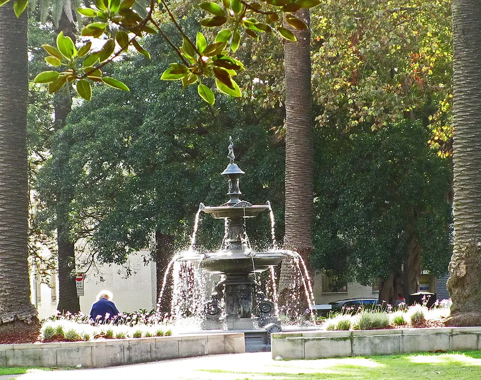
Redfern Park
ParkA historic park and oval, where Paul Keating gave the 1992 Redfern Speech.
-
Prince Alfred Park
Park and poolLawns, tennis courts and a heated outdoor pool between Redfern and Central.
-
Surry Hills
NeighbourhoodCrown Street's boutiques, galleries and restaurants, about 10 minutes on foot.
Apartments in Redfern