North Sydney
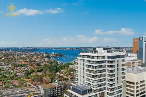
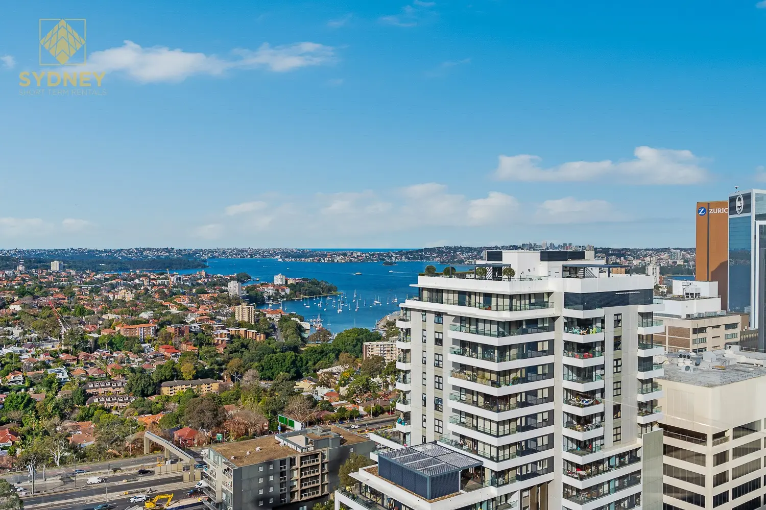
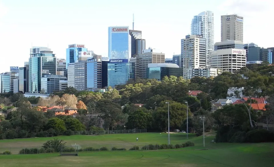
North Sydney is the city's second business district, just across the Harbour Bridge: office towers around Miller Street, a new Metro station, and lanes full of cafés, ramen bars and after-work pubs.
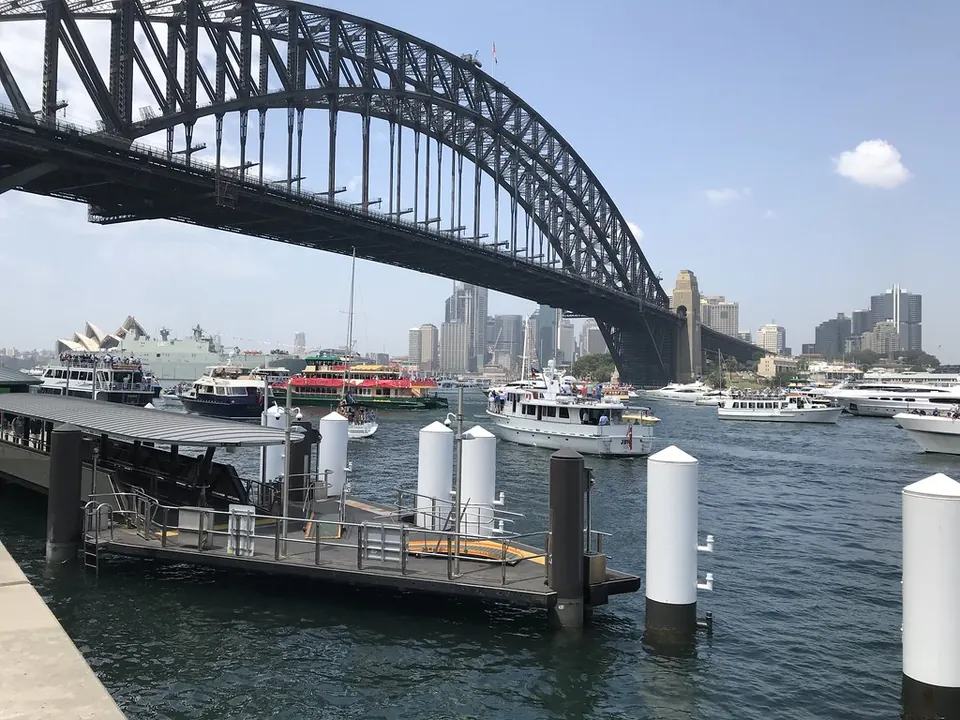
Walk a few minutes downhill and you're on the harbour at Lavender Bay, Luna Park and Milsons Point, with ferries and the walk across the bridge to The Rocks.
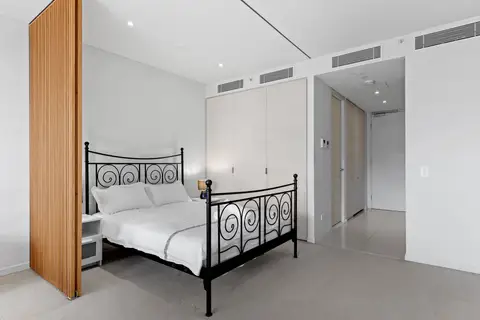
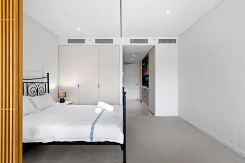
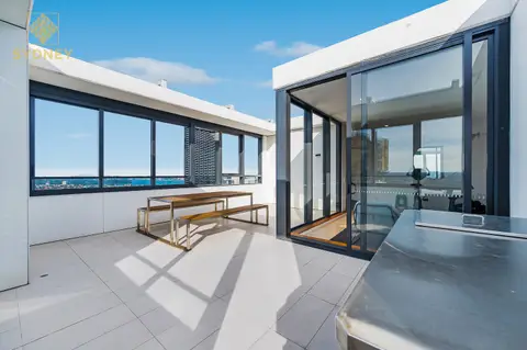
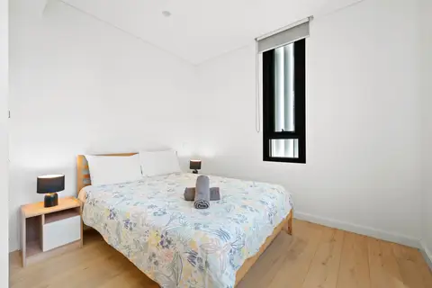
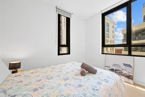
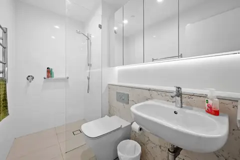
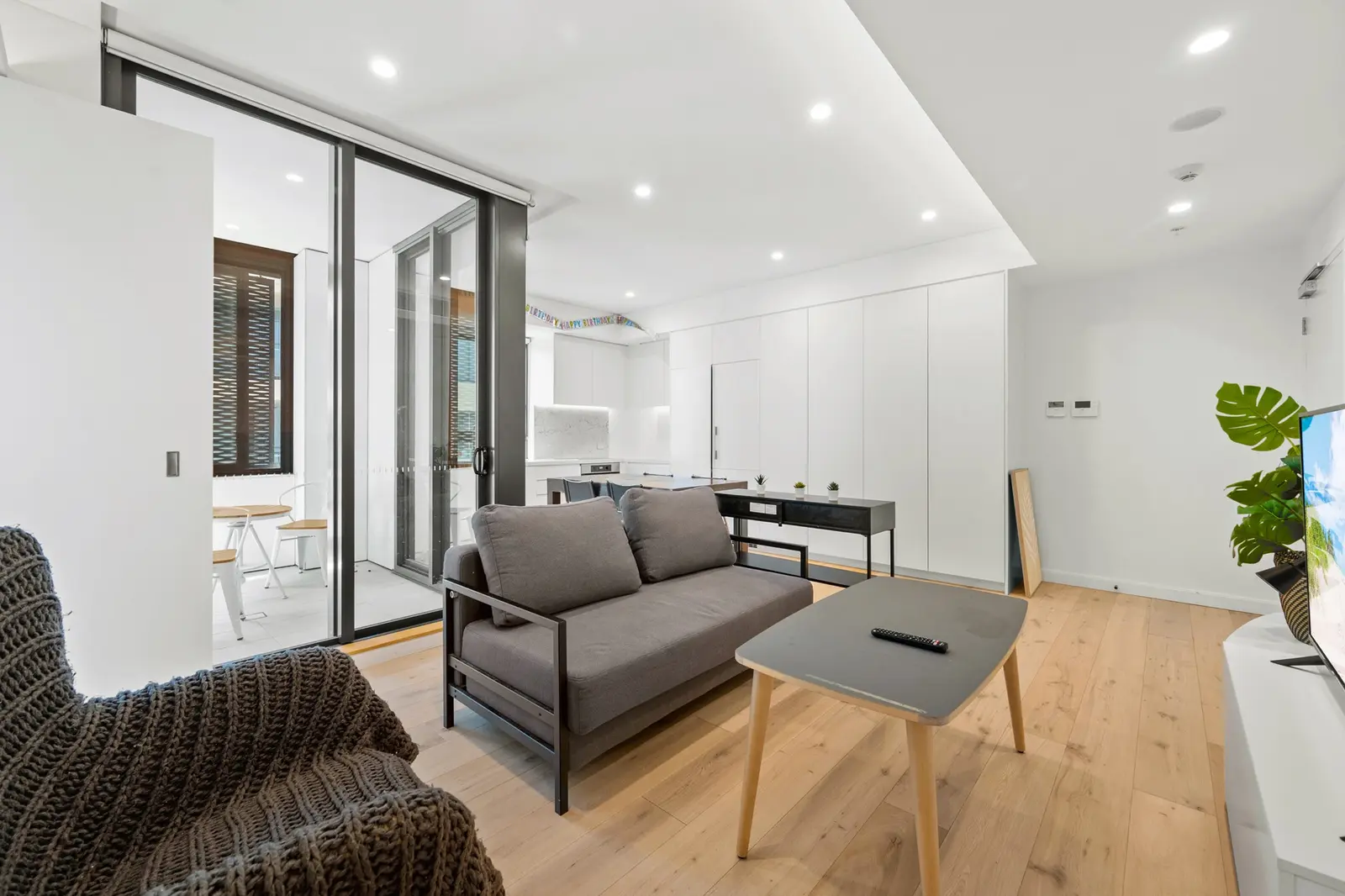
See 3 apartments in North Sydney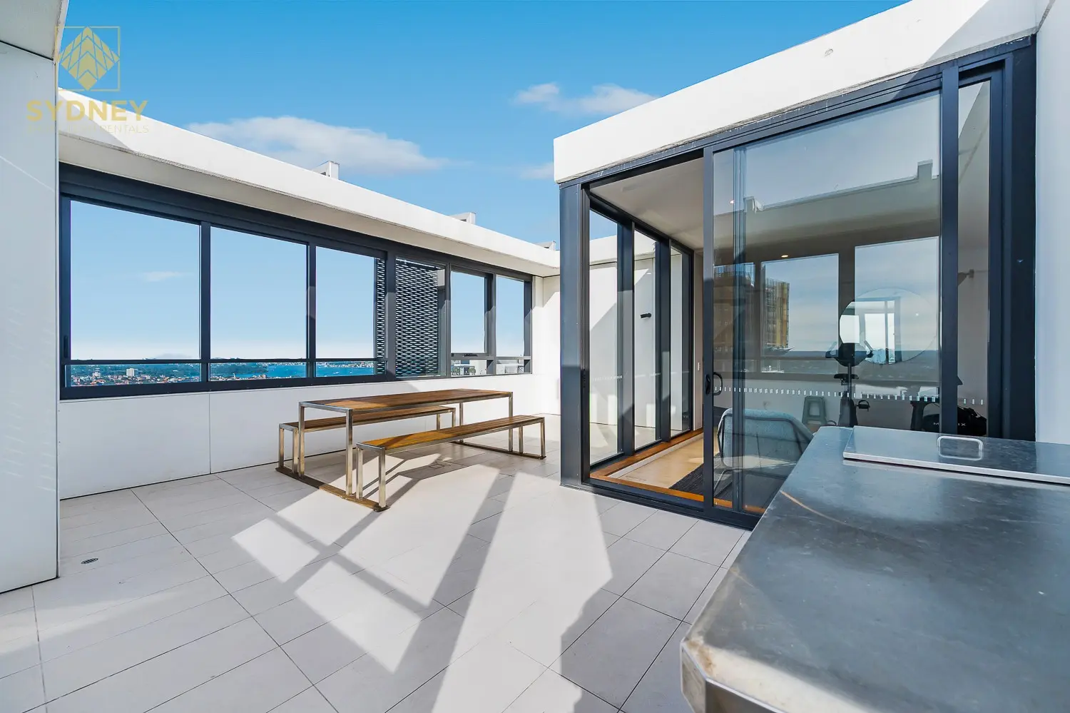
- To the city
- 4 minby Metro or train
- On foot
- Harbour Bridgewalk across to The Rocks
- Groceries
- Woolworths, Colesand Aldi
- To the airport
- 25 minby car or taxi
North Sydney in 3D
Gold circles show our apartments’ approximate locations, with the shops, cafés, stops and parks near them. Choose a place to see what it is and how to get there, turn the map with two fingers or the right mouse button, or step back to see where North Sydney sits in Sydney.
The 3D map of North Sydney
The map’s pictures come from OpenFreeMap, which sees your internet address like any site you visit.
Each gold circle is the approximate location of our apartments there. Tap its arch for the apartments, and for dashed rings of about a 5 and a 10 minute walk. Orange lines are trains, teal the Metro, red the light rail and dashed green the ferries.
Everyday places near our apartments
Near our apartments on Miller Street 26 places
- CaféKitaya CafeUnder 5 min walk
- CaféLoulouUnder 5 min walk
- CaféUna ProvidoreUnder 5 min walk
- SupermarketIGAUnder 5 min walk
- RestaurantSakuraUnder 5 min walk
- RestaurantSaravanaa BhavanUnder 5 min walk
- Bus stopMiller St after McLaren StUnder 5 min walk
- Bus stopMiller St at McLaren StUnder 5 min walk
- StationVictoria CrossUnder 5 min walk
- RestaurantAnticaUnder 5 min walk
- Pub or barRag and Famish HotelUnder 5 min walk
- Convenience storeBerry Mini MartUnder 5 min walk
- ParkTed Mack Civic ParkUnder 5 min walk
- BankANZUnder 5 min walk
- ParkDoris Fitton ParkUnder 5 min walk
- DoctorQualitas Medical PracticeUnder 5 min walk
- BakeryTop Impressions BakeryUnder 5 min walk
- TakeawayMarrickville Pork RollUnder 5 min walk
- TakeawayMcDonald'sUnder 5 min walk
- LibraryStanton LibraryUnder 5 min walk
- SupermarketWoolworths MetroUnder 5 min walk
- Shopping centreNorthpoint5–10 min walk
- Post officeNorth Sydney Post Office5–10 min walk
- PharmacyTerryWhite Chemmart5–10 min walk
- StationNorth Sydney10–15 min walk
- Ferry wharfNeutral Bay15–20 min walk
Near our apartments on Pacific Highway 26 places
- Bus stopPacific Hwy before Bay RdUnder 5 min walk
- RestaurantDaai Lung FungUnder 5 min walk
- Convenience storeBay mini martUnder 5 min walk
- TakeawayBay PizzaUnder 5 min walk
- Bus stopPacific Hwy at Berry StUnder 5 min walk
- BakeryThe Green BakeryUnder 5 min walk
- DoctorQualitas Medical PracticeUnder 5 min walk
- RestaurantAnticaUnder 5 min walk
- RestaurantPopo GourmetUnder 5 min walk
- StationVictoria CrossUnder 5 min walk
- Pub or barUnion HotelUnder 5 min walk
- CaféGarageUnder 5 min walk
- CaféLost and FoundUnder 5 min walk
- SupermarketIGAUnder 5 min walk
- CaféAslan CoffeeUnder 5 min walk
- ParkTed Mack Civic ParkUnder 5 min walk
- BankANZUnder 5 min walk
- TakeawayGuzman y GomezUnder 5 min walk
- SupermarketWoolworths MetroUnder 5 min walk
- Shopping centreNorthpointUnder 5 min walk
- Post officeNorth Sydney Post OfficeUnder 5 min walk
- LibraryStanton LibraryUnder 5 min walk
- PharmacyTerryWhite Chemmart5–10 min walk
- ParkEuroka Street Playground5–10 min walk
- StationNorth Sydney10–15 min walk
- PlaygroundMerrett Playground10–15 min walk
Walking and driving times are approximate, from the circles on the map. The places come from OpenStreetMap: check opening hours before you go.
Eat & drink
-
Mensho Tokyo
RamenRich, refined ramen from a Tokyo ramen house.
-
Bourke Street Bakery
BakerySourdough, pastries and sausage rolls.
-
Una Providore
CaféA neighbourhood café with a good breakfast menu.
-
Saravanaa Bhavan
IndianSouth Indian vegetarian: dosa, thali and filter coffee.
-
Poetica
GrillWood-fired and charcoal cooking in a big dining room.
-
Antica
ItalianItalian cooking in a restored 1909 house.
-
Rag and Famish Hotel
PubA historic corner pub with a bistro.
-
The Greens
Bar and bistroFood and drinks overlooking a bowling green.
Shops & everyday
-
Woolworths Metro
GroceriesA supermarket in the middle of the business district.
-
Aldi and Coles
GroceriesBoth on Mount Street.
-
Greenwood Plaza
Shopping centreFood, a grocer and everyday shops over North Sydney station.
-
Stanton Library
LibraryFree Wi-Fi, study spaces and a local history collection.
-
North Sydney Post Office
Post officeParcels, mail and bill paying.
-
Royal North Shore Hospital
HospitalThe nearest major hospital with an emergency department, in St Leonards. In an emergency call 000.
Getting around
-
Victoria Cross station
MetroMetro trains to Barangaroo and Martin Place in a few minutes, and north to Crows Nest, Chatswood and Macquarie Park.
-
North Sydney station
TrainsTrains over the bridge to Wynyard in about 4 minutes, and north to Chatswood and Hornsby.
-
Ferries
FerryFerries from Milsons Point and McMahons Point wharves to Circular Quay and Barangaroo.
-
Sydney Airport
AirportAbout 25 minutes by car or taxi.
Things to do
-
Walk the Harbour Bridge
WalkThe footpath from Milsons Point to The Rocks, with views of the Opera House.
-
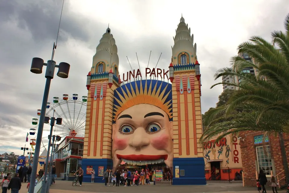
Luna Park
Amusement parkThe harbourside amusement park with its famous smiling entrance.
-
Wendy's Secret Garden
GardenA hidden garden above Lavender Bay, free to wander.
-
Blues Point Reserve
Harbour viewsA grassy point with one of the best views of the bridge and the Opera House.
-
St Leonards Park
ParkBig lawns and North Sydney Oval.