Macquarie Park
Macquarie Park is Sydney's big business and university precinct: corporate offices, Macquarie University and its hospital, and Macquarie Centre, one of the city's largest shopping centres, with an ice rink and a cinema.
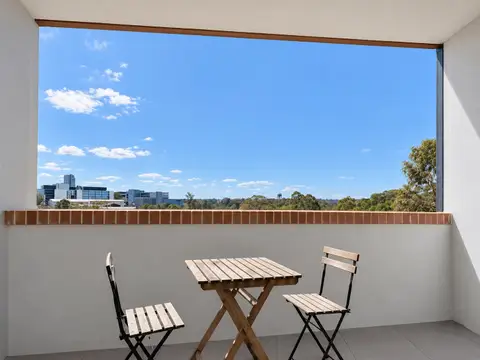
Three Metro stations run through it, so Chatswood is about 8 minutes away and the CBD about 20, and the bushland of Lane Cove National Park is next door.
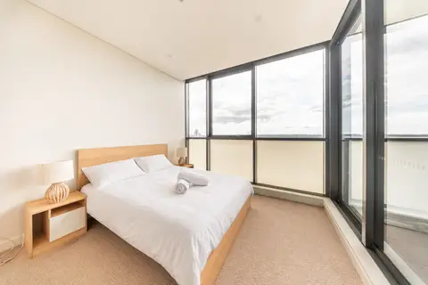
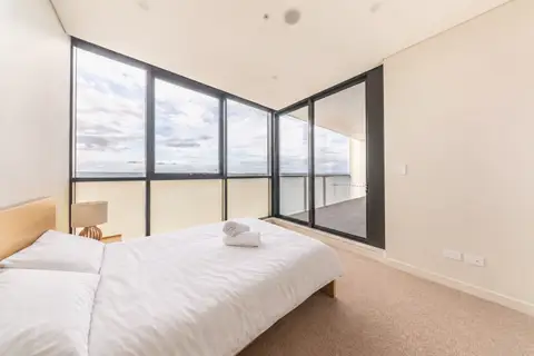
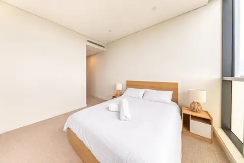
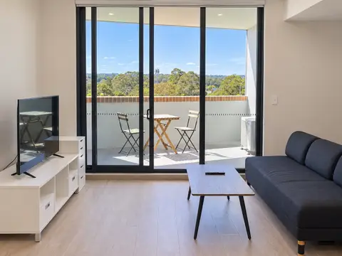
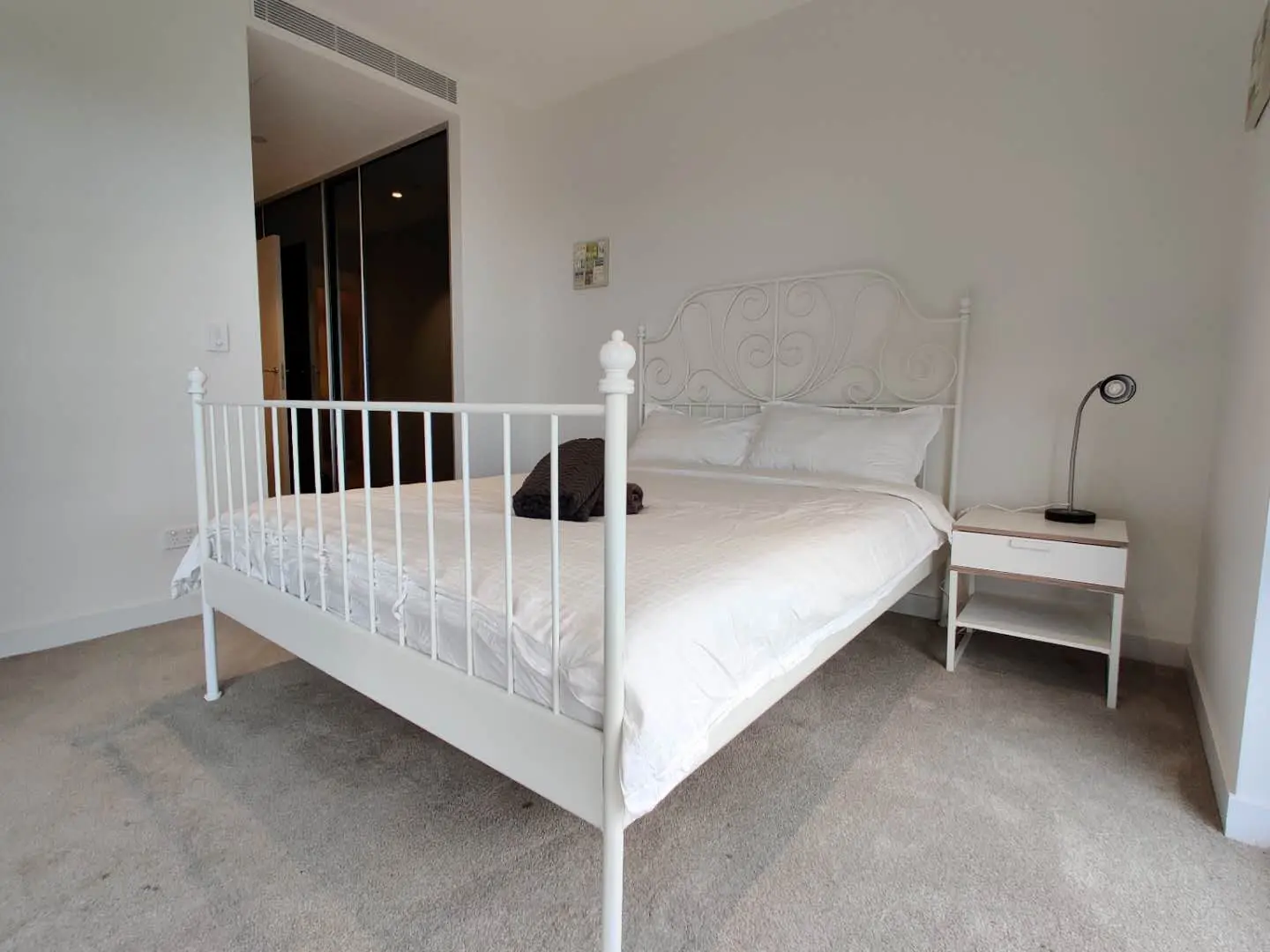
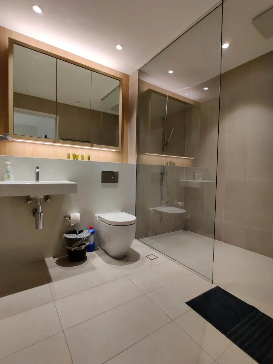
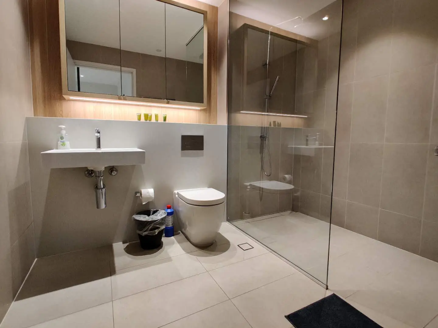
See 4 apartments in Macquarie Park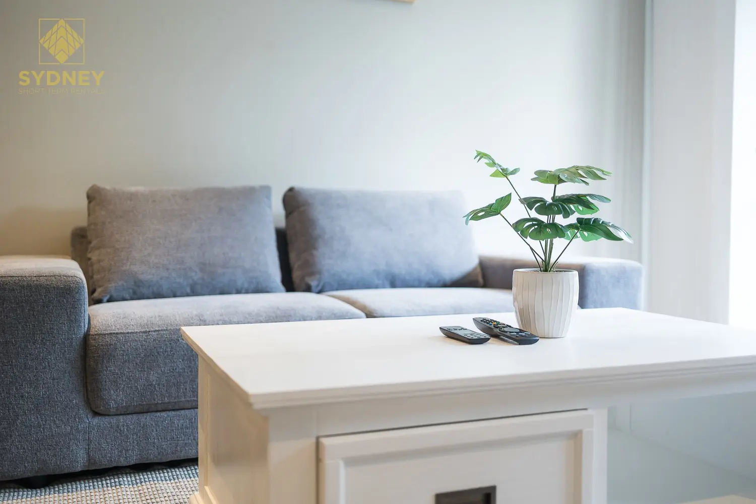
- To the city
- 20 minby Metro to Martin Place
- To Chatswood
- 8 minby Metro
- Shops
- Macquarie Centresupermarkets, cinema, ice rink
- University
- Macquariewith its own Metro station
Macquarie Park in 3D
Gold circles show our apartments’ approximate locations, with the shops, cafés, stops and parks near them. Choose a place to see what it is and how to get there, turn the map with two fingers or the right mouse button, or step back to see where Macquarie Park sits in Sydney.
The 3D map of Macquarie Park
The map’s pictures come from OpenFreeMap, which sees your internet address like any site you visit.
Each gold circle is the approximate location of our apartments there. Tap its arch for the apartments, and for dashed rings of about a 5 and a 10 minute walk. Orange lines are trains, teal the Metro, red the light rail and dashed green the ferries.
Everyday places near our apartments
Near our apartments on Mooltan Avenue 21 places
- Bus stopEpping Rd before Herring RdUnder 5 min walk
- SupermarketMoonlight Nepalese & Indian GroceryUnder 5 min walk
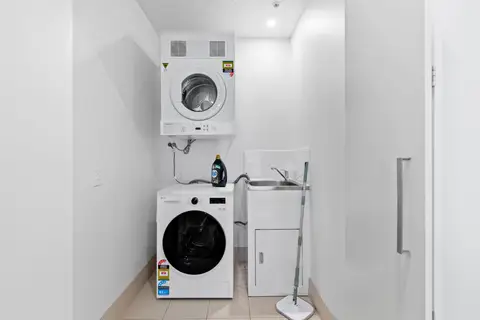
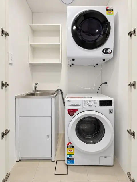
- LaundromatRinse and Repeat LaundromatUnder 5 min walk
- RestaurantYurica Japanese KitchenUnder 5 min walk
- Bus stopEpping Rd after Herring RdUnder 5 min walk
- SupermarketEveryday MartUnder 5 min walk
- Pub or barThe RanchUnder 5 min walk
- RestaurantThe RanchUnder 5 min walk
- CaféCafe CalibreUnder 5 min walk
- ParkLiberty ParkUnder 5 min walk
- ParkLittle Lost Library Park5–10 min walk
- CaféLibrary Café5–10 min walk
- LibraryWaranara Library5–10 min walk
- CaféGlobe Café5–10 min walk
- StationMacquarie University5–10 min walk
- Convenience storeEzMart5–10 min walk
- PharmacyPriceline Pharmacy10–15 min walk
- BankANZ10–15 min walk
- Shopping centreMacquarie Centre10–15 min walk
- Post officeMacquarie Centre Post Office10–15 min walk
- DoctorMyHealth10–15 min walk
Near our apartments on Mooltan Avenue (another building) 21 places
- LaundromatRinse and Repeat LaundromatUnder 5 min walk
- SupermarketMoonlight Nepalese & Indian GroceryUnder 5 min walk
- RestaurantYurica Japanese KitchenUnder 5 min walk
- SupermarketEveryday MartUnder 5 min walk
- Bus stopEpping Rd before Herring RdUnder 5 min walk
- Bus stopEpping Rd after Herring RdUnder 5 min walk
- RestaurantThe RanchUnder 5 min walk
- Pub or barThe RanchUnder 5 min walk
- CaféCafe CalibreUnder 5 min walk
- ParkLiberty Park5–10 min walk
- ParkLittle Lost Library Park5–10 min walk
- CaféLibrary Café5–10 min walk
- LibraryWaranara Library5–10 min walk
- StationMacquarie University5–10 min walk
- Convenience storeEzMart5–10 min walk
- PharmacyPriceline Pharmacy10–15 min walk
- BankANZ10–15 min walk
- Shopping centreMacquarie Centre10–15 min walk
- DoctorMyHealth10–15 min walk
- Post officeMacquarie Centre Post Office10–15 min walk
- StationMacquarie ParkUnder 5 min drive
Near our apartments on Halifax Street 19 places
- Bus stopHalifax St after Wicks RdUnder 5 min walk
- Bus stopHalifax St before Wicks RdUnder 5 min walk
- ParkTirriwan ReserveUnder 5 min walk
- Convenience storeFoodaryUnder 5 min walk
- Pub or barThe Governor HotelUnder 5 min walk
- DoctorMacquarie Park Medical CentreUnder 5 min walk
- PharmacyTerryWhite ChemmartUnder 5 min walk
- SupermarketColes5–10 min walk
- CaféLeaf Cafe5–10 min walk
- RestaurantShoga5–10 min walk
- RestaurantKorean Fried Chicken5–10 min walk
- RestaurantSaigon Spices5–10 min walk
- ParkMoreshead Park5–10 min walk
- StationNorth Ryde10–15 min walk
- StationMacquarie Park10–15 min walk
- SupermarketEzyMart10–15 min walk
- Shopping centreThe Village - Riverside Corporate ParkUnder 5 min drive
- LibraryNorth Ryde LibraryUnder 5 min drive
- Post officeNorth Ryde Post OfficeUnder 5 min drive
Walking and driving times are approximate, from the circles on the map. The places come from OpenStreetMap: check opening hours before you go.
Eat & drink
-
The Governor Hotel
PubA pub on several levels, with a bistro, a rooftop bar and an arcade.
-
Eden Gardens
RestaurantA restaurant and terrace bar beside display gardens and a garden centre, with a children's play area.
-
Ipoh Hawker
MalaysianMalaysian hawker dishes.
-
Darcy Street Project
CaféA café that gives people looking for work training and experience.
-
Macquarie Centre dining
Food court and restaurantsDozens of places to eat, from ramen and sushi to Malaysian, Greek and Mexican.
Shops & everyday
-
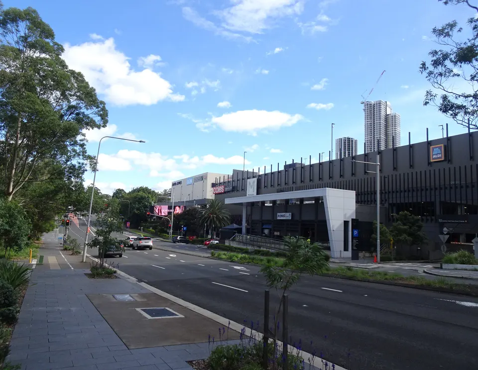
Macquarie Centre
Shopping centreWoolworths, Coles and Aldi, department stores, a cinema and an ice rink.
-
Lachlan's Square
ShopsA Coles, a pharmacy and cafés near North Ryde station.
-
Macquarie Centre Post Office
Post officeParcels, mail and bill paying.
-
Ryde Hospital
HospitalThe nearest public hospital with an emergency department, in Eastwood, about 10 minutes by car. In an emergency call 000.
Getting around
-
Metro stations
MetroMacquarie University, Macquarie Park and North Ryde stations: frequent Metro trains to Chatswood and the CBD, and west to Epping and the Hills.
-
Buses
BusA bus interchange at Macquarie University, with buses across the north.
-
Sydney Airport
AirportAbout 35 minutes by car or taxi.
Things to do
-
Macquarie Ice Rink
Ice skatingAn Olympic-size rink inside Macquarie Centre, open for public skating.
-
Strike Bowling
GamesBowling, laser tag, karaoke and escape rooms at Macquarie Centre.
-
Lane Cove National Park
BushlandBushwalks, picnic areas and boat hire on the Lane Cove River.