Lindfield
Lindfield is a leafy Upper North Shore suburb of gardens and old houses, with a village of cafés, grocers and restaurants on both sides of its station and a new village green with a café pavilion.
Trains reach Chatswood in a few minutes and the city in about 25, and bushland is close by: the Two Creeks Track runs from East Lindfield down to Middle Harbour, and Lane Cove National Park is a short drive west.
See 2 apartments in Lindfield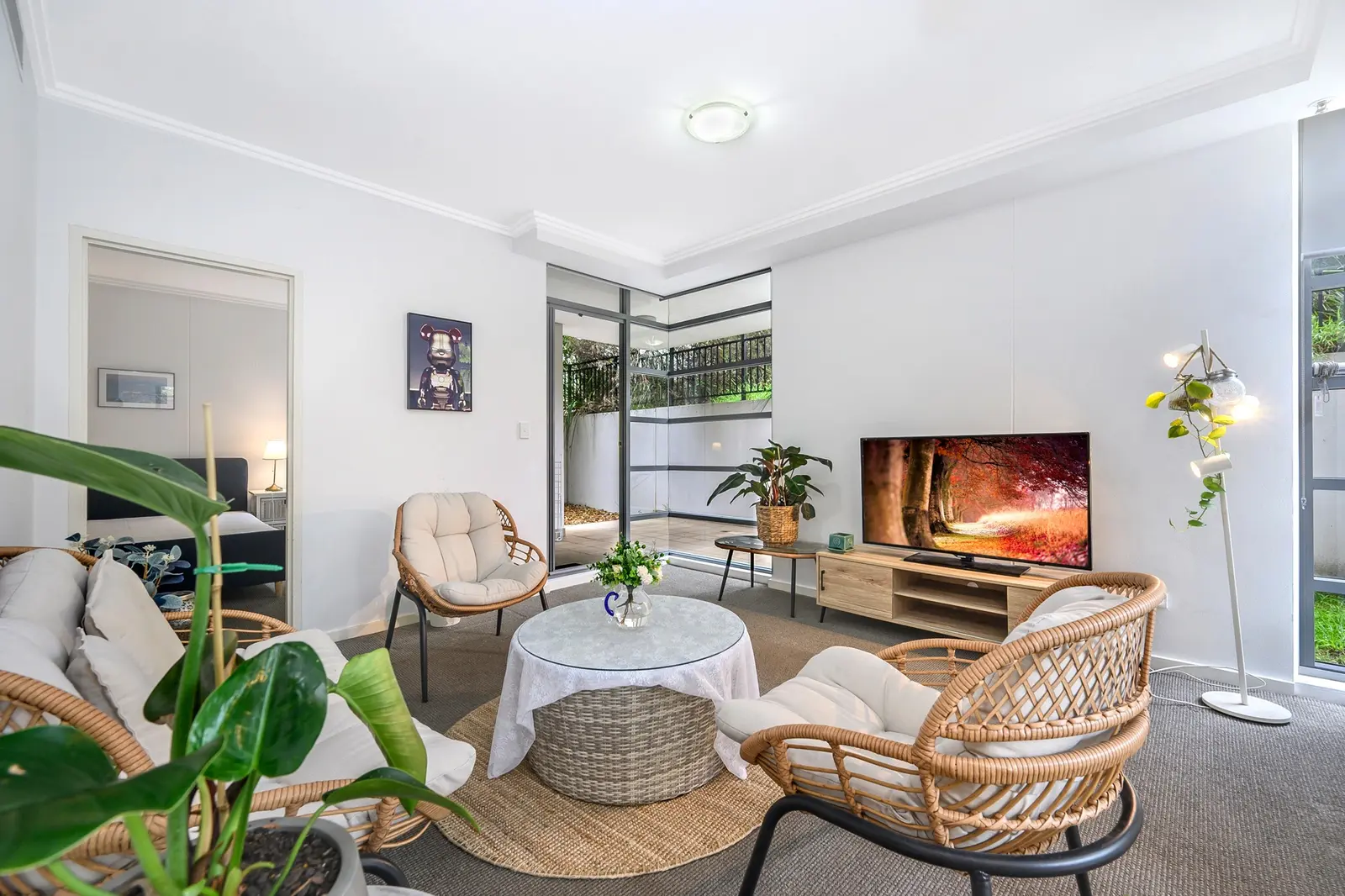
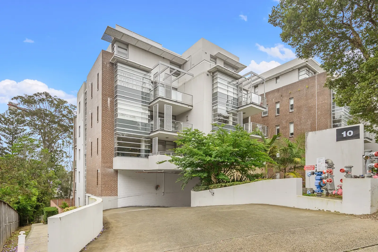
- To the city
- 25 minby train to Wynyard
- To Chatswood
- 5 minby train, then the Metro
- Groceries
- Harris Farm, Colesin the village
- Bushwalk
- Two Creeks Trackdown to Middle Harbour
Lindfield in 3D
Gold circles show our apartments’ approximate locations, with the shops, cafés, stops and parks near them. Choose a place to see what it is and how to get there, turn the map with two fingers or the right mouse button, or step back to see where Lindfield sits in Sydney.
The 3D map of Lindfield
The map’s pictures come from OpenFreeMap, which sees your internet address like any site you visit.
Each gold circle is the approximate location of our apartments there. Tap its arch for the apartments, and for dashed rings of about a 5 and a 10 minute walk. Orange lines are trains, teal the Metro, red the light rail and dashed green the ferries.
Everyday places near our apartments
Near our apartments on Eton Road 19 places
- ParkMillwood ParkUnder 5 min walk
- Bus stopLindfield Public School, Grosvenor RdUnder 5 min walk
- Bus stopGrosvenor Rd at Ortona RdUnder 5 min walk
- ParkTwo Turners Reserve5–10 min walk
- RestaurantPizza Olla5–10 min walk
- RestaurantEl Karim5–10 min walk
- LibraryLindfield Library5–10 min walk
- RestaurantZaika Indian5–10 min walk
- DoctorHill Street Health Hub (Roseville)5–10 min walk
- Convenience storeRoseville Convenience Store5–10 min walk
- BakerySlowbreads Bakery5–10 min walk
- Post officeLindfield Post Office5–10 min walk
- StationRoseville10–15 min walk
- PharmacyNorth Shore Pharmacy Roseville10–15 min walk
- BankBendigo Bank10–15 min walk
- StationLindfield10–15 min walk
- SupermarketSupamart IGA10–15 min walk
- Shopping centreLindfield Shopping Village10–15 min walk
- SupermarketHarris Farm Markets10–15 min walk
Near our apartments on Drovers Way 22 places
- Bus stopPacific Hwy opp Lindfield LibraryUnder 5 min walk
- Post officeLindfield Post OfficeUnder 5 min walk
- Bus stopLindfield Library, Pacific HwyUnder 5 min walk
- LibraryLindfield LibraryUnder 5 min walk
- TakeawayKFCUnder 5 min walk
- TakeawayOgalo's LindfieldUnder 5 min walk
- PharmacyChemPro ChemistUnder 5 min walk
- BankBendigo BankUnder 5 min walk
- CaféKitaya Cafe5–10 min walk
- StationLindfield5–10 min walk
- ParkTwo Turners Reserve5–10 min walk
- RestaurantDomo Domo5–10 min walk
- RestaurantCiao Down5–10 min walk
- RestaurantCafe Lyon5–10 min walk
- CaféGoodfields Eatery5–10 min walk
- CaféIndochine5–10 min walk
- ParkLindfield Rotary Park5–10 min walk
- SupermarketColes5–10 min walk
- SupermarketSupamart IGA5–10 min walk
- Shopping centreLindfield Shopping Village5–10 min walk
- DoctorLindfield Medical Practice5–10 min walk
- StationRoseville15–20 min walk
Walking and driving times are approximate, from the circles on the map. The places come from OpenStreetMap: check opening hours before you go.
Eat & drink
-
Goodfields Eatery
CaféAll-day breakfast and lunch, seven days a week.
-
Olea
Café and barBreakfast and lunch, and a bar menu.
-
Runaway Spoon
CaféA family-friendly café for breakfast and lunch.
-
Cafe Lyon
BistroLindfield's local bistro.
Shops & everyday
-
Harris Farm Markets
GroceriesFresh fruit and vegetables and a big range of groceries.
-
Coles
GroceriesA supermarket in the village.
-
Lindfield Library
LibraryFree Wi-Fi and quiet study spaces.
-
Lindfield Post Office
Post officeParcels, mail and bill paying.
-
Royal North Shore Hospital
HospitalThe nearest major hospital with an emergency department, in St Leonards, about 15 minutes by car. In an emergency call 000.
Getting around
-
Lindfield station
TrainsNorth Shore line trains to Chatswood (change there for the Metro), North Sydney and Wynyard, about 25 minutes, and north to Gordon and Hornsby.
-
Sydney Airport
AirportAbout 40 minutes by car or taxi.
Things to do
-
Lindfield Village Green
ParkA new green in the village with a café pavilion, water features, gazebos and paths to the station.
-
Two Creeks Track
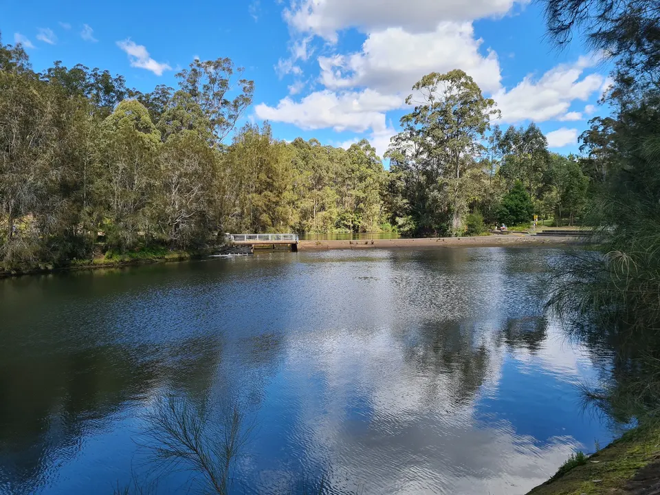
BushwalkA 6 km track from East Lindfield along Gordon Creek to Middle Harbour and Roseville Bridge, past mangroves and old stonework. Moderate, with steep sections; about 2 hours from end to end.
-
Lane Cove National Park
BushlandRiverside picnic areas, walking tracks and a café, a short drive west.