Erskineville
Erskineville is a leafy inner-west village of terrace houses and corner pubs, squeezed between Newtown's King Street and the hills and wetlands of Sydney Park. Erskineville Road has the cafés, a bakery and the everyday shops; Swanson Street has two more pubs.
Its station is six minutes from Central, and from 15 November 2026 it's on the T4 line, so trains run straight through the city to Bondi Junction.
See 2 apartments in Erskineville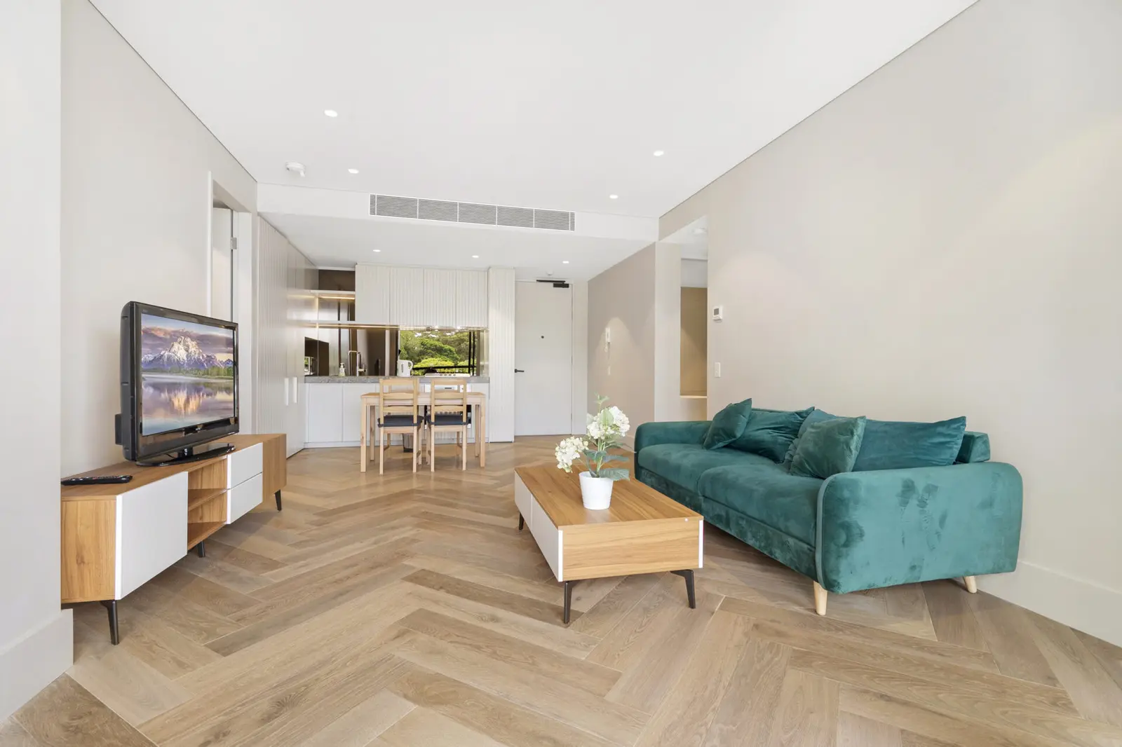
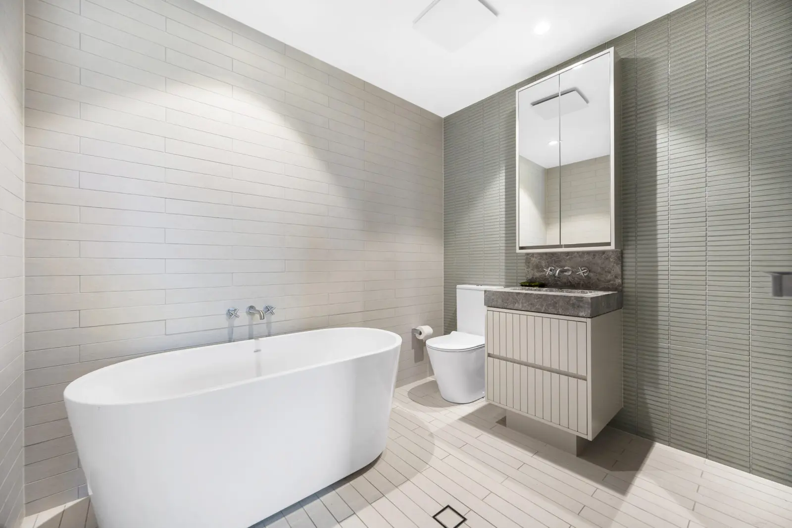
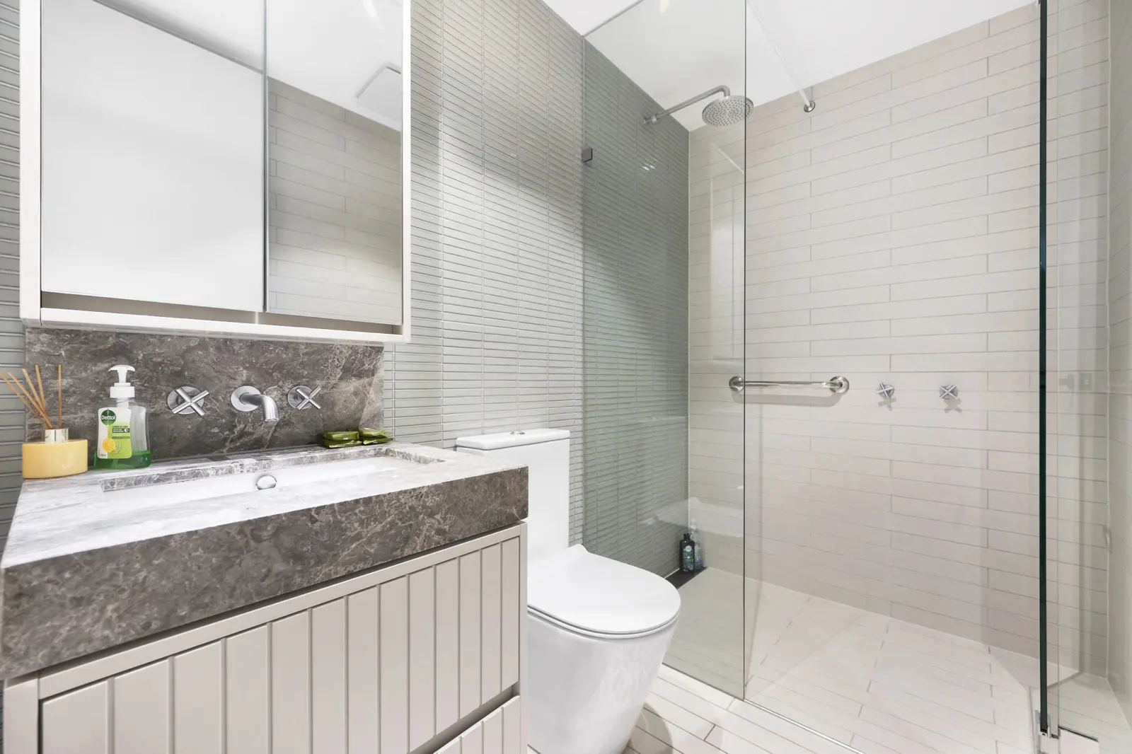
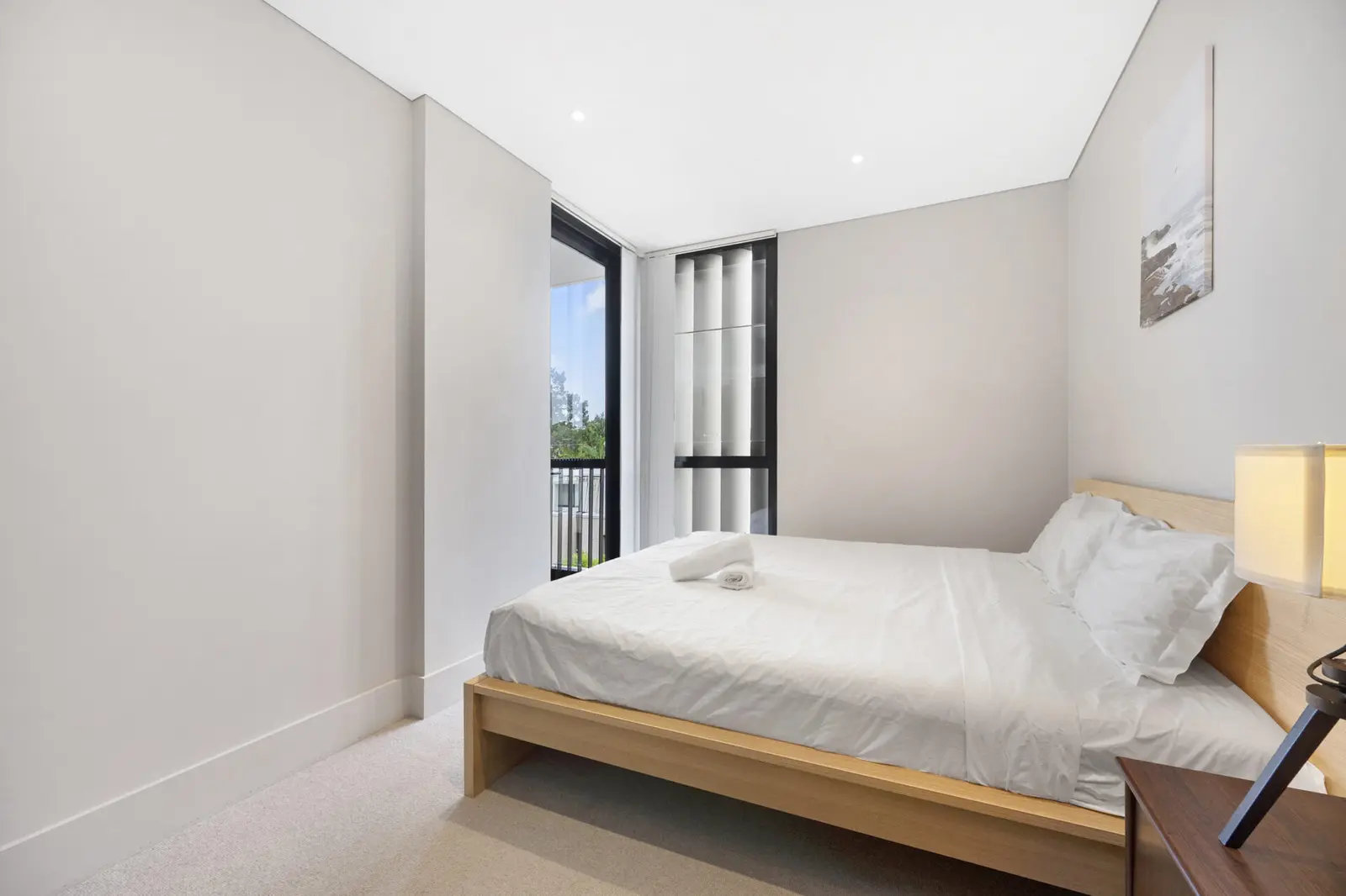
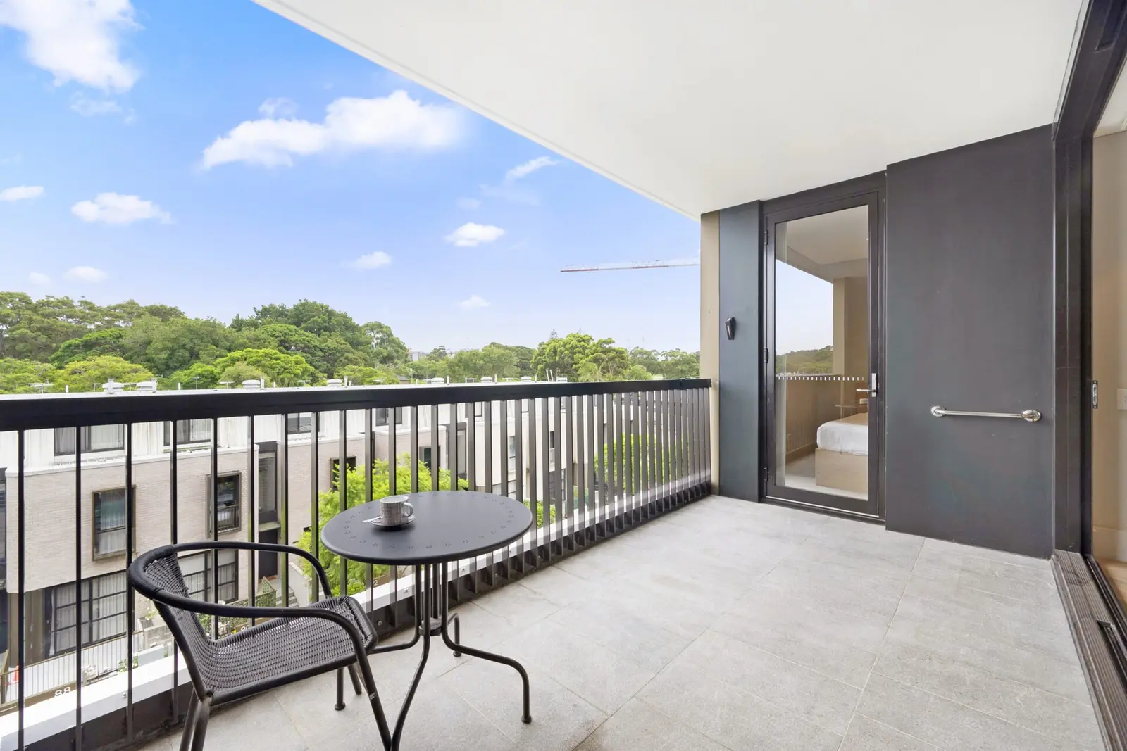
- To the city
- 6 minby train to Central
- To the airport
- 15 minby car or taxi
- Next door
- Sydney Parkwetlands, hills and a cycling track
- A short walk
- King StreetNewtown's shops and restaurants
Erskineville in 3D
Gold circles show our apartments’ approximate locations, with the shops, cafés, stops and parks near them. Choose a place to see what it is and how to get there, turn the map with two fingers or the right mouse button, or step back to see where Erskineville sits in Sydney.
The 3D map of Erskineville
The map’s pictures come from OpenFreeMap, which sees your internet address like any site you visit.
Each gold circle is the approximate location of our apartments there. Tap its arch for the apartments, and for dashed rings of about a 5 and a 10 minute walk. Orange lines are trains, teal the Metro, red the light rail and dashed green the ferries.
Everyday places near our apartments
Near our apartments on Foundry Street 26 places
- CaféPiccolo MeUnder 5 min walk
- TakeawayAlexandria SeafoodUnder 5 min walk
- Pub or barPark View HotelUnder 5 min walk
- Bus stopMitchell Rd opp Erskineville OvalUnder 5 min walk
- SupermarketWoolworthsUnder 5 min walk
- Bus stopErskineville Oval, Mitchell RdUnder 5 min walk
- RestaurantMizuki SushiUnder 5 min walk
- ParkLes White ReserveUnder 5 min walk
- PharmacyErskineville Compounding PharmacyUnder 5 min walk
- Shopping centrePark Sydney VillageUnder 5 min walk
- DoctorPark Sydney Medical PracticeUnder 5 min walk
- TakeawayOportoUnder 5 min walk
- CaféLa CachetteUnder 5 min walk
- PlaygroundBowden PlaygroundUnder 5 min walk
- RestaurantPino'sUnder 5 min walk
- CaféCoffee CreativeUnder 5 min walk
- ParkHarry Noble ReserveUnder 5 min walk
- RestaurantPasta MadUnder 5 min walk
- SupermarketWoolworths5–10 min walk
- BakeryTuga Pastries5–10 min walk
- StationErskineville5–10 min walk
- LaundromatBest Ever Dry Cleaners & Laundrette10–15 min walk
- Fruit and vegErskineville Fruit Market10–15 min walk
- Post officeErskineville Post Office10–15 min walk
- StationMacdonaldtown10–15 min walk
- LibraryNewtown LibraryUnder 5 min drive
Near our apartments on Metters Street 27 places
- CaféYolkUnder 5 min walk
- CaféFoodcraftUnder 5 min walk
- ParkKirsova 1 PlaygroundUnder 5 min walk
- RestaurantMizuki SushiUnder 5 min walk
- TakeawayOportoUnder 5 min walk
- Bus stopCoulson St after Mitchell RdUnder 5 min walk
- Shopping centrePark Sydney VillageUnder 5 min walk
- Bus stopMitchell Rd opp Maddox StUnder 5 min walk
- SupermarketWoolworthsUnder 5 min walk
- PharmacyErskineville Compounding PharmacyUnder 5 min walk
- DoctorPark Sydney Medical PracticeUnder 5 min walk
- TakeawayThe CornerUnder 5 min walk
- ParkKirsova 2 PlaygroundUnder 5 min walk
- CaféLa Cachette5–10 min walk
- StationErskineville5–10 min walk
- RestaurantMade in Italy Alexandria5–10 min walk
- RestaurantHowards Cantina5–10 min walk
- Pub or barPark View Hotel5–10 min walk
- SupermarketWelcome Mart5–10 min walk
- Fruit and vegErskineville Fruit Market5–10 min walk
- LaundromatBest Ever Dry Cleaners & Laundrette5–10 min walk
- Convenience storeThe Deli Erskineville5–10 min walk
- Post officeErskineville Post Office5–10 min walk
- PlaygroundBowden Playground5–10 min walk
- BakeryChristina’s Honeycakes5–10 min walk
- StationSt Peters10–15 min walk
- LibraryNewtown LibraryUnder 5 min drive
Walking and driving times are approximate, from the circles on the map. The places come from OpenStreetMap: check opening hours before you go.
Eat & drink
-
Shenkin
CaféAn Israeli-style café with generous breakfasts and friendly service.
-
Fleetwood Macchiato
CaféA wood-panelled café with an all-day menu.
-
Cafe Piccolo
CaféA small, long-running neighbourhood café.
-
Full Moon Thai
ThaiThai classics to eat in or take home.
-
The Erskineville Hotel
PubThe Erko: a big local pub with a bistro and beer garden.
-
The Imperial Hotel
PubA landmark pub with a dining room, rooftop and shows.
-
Rose of Australia
PubA corner pub with a Mexican-leaning kitchen, Howard's Cantina.
-
Kurrajong Hotel
PubA relaxed local with a courtyard and pub meals.
-
The Hive Bar
BarA small, friendly bar with snacks and cocktails.
Shops & everyday
-
Local shops
EverydayA Woolworths on Mitchell Road, two pharmacies and the post office on Erskineville Road.
-
Erskineville Post Office
Post officeParcels, mail and bill paying.
-
King Street, Newtown
ShopsBookshops, vintage clothes, homewares and late-opening shops, 10 minutes on foot.
-
Park Sydney Medical Practice
DoctorA general practice in the Park Sydney precinct.
-
Royal Prince Alfred Hospital
HospitalThe nearest major hospital with an emergency department, in Camperdown. In an emergency call 000.
Getting around
-
Erskineville station
TrainsAbout six minutes to Central. From 15 November 2026 it's on the T4 line: through the city to Bondi Junction one way, and to Hurstville and Cronulla the other.
-
Newtown and St Peters stations
TrainsBoth about 10 minutes on foot, with other lines into the city.
-
Buses
BusKing Street buses run to the city, Broadway and Sydenham.
-
Sydney Airport
AirportAbout 15 minutes by car or taxi.
Things to do
-
Sydney Park
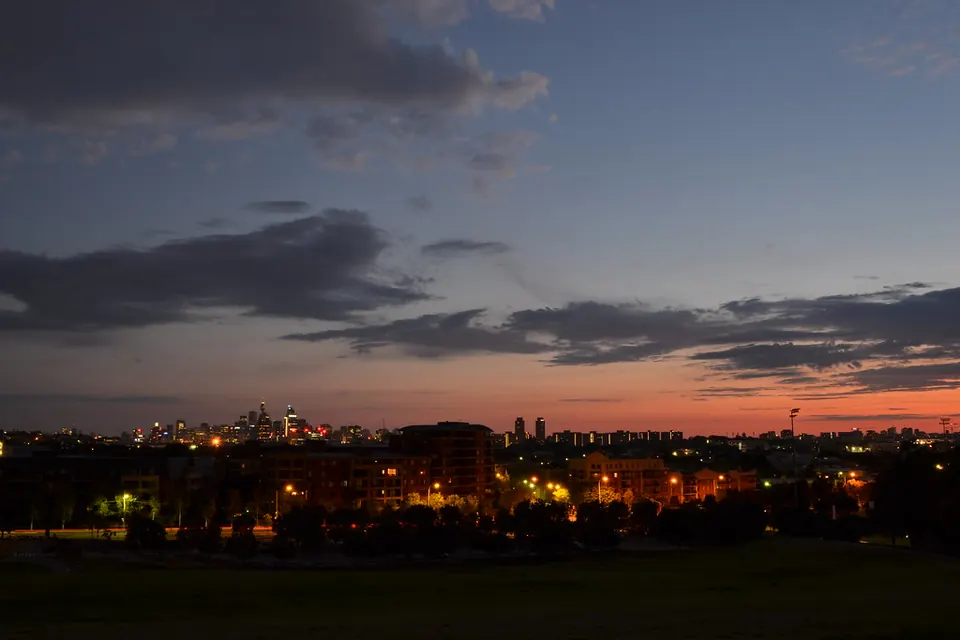
ParkBig hills with city views, wetlands, a cycling track, playgrounds and a café.
-
Enmore Theatre
Live showsA historic theatre for concerts and comedy, a short walk away in Enmore.
-
Carriageworks
Arts and marketExhibitions and festivals, with a farmers market on Saturday mornings, about 15 minutes on foot.
-
Harry Noble Reserve
ParkA small local park with a playground.