Crows Nest
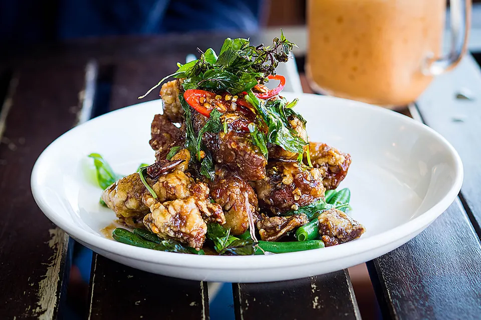
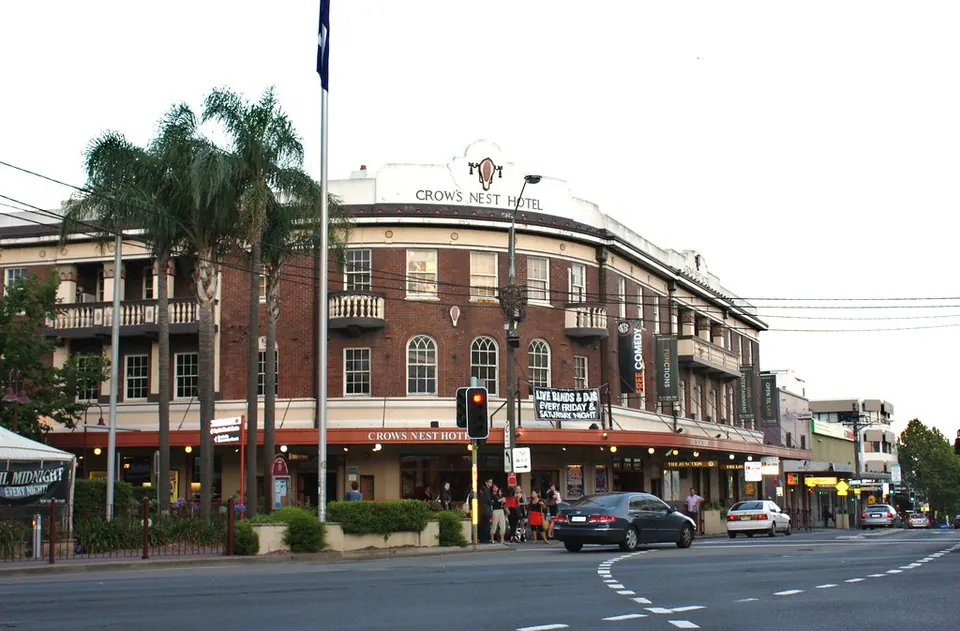
Crows Nest is a village of restaurants, bars and cafés on the lower North Shore, centred on Willoughby Road and Falcon Street: Japanese, Thai, Spanish and Mexican, wine bars and a few good pubs, all within a few blocks.
Its Metro station puts the CBD less than 10 minutes away, and St Leonards, Royal North Shore Hospital and North Sydney's offices are close by.
See 1 apartment in Crows Nest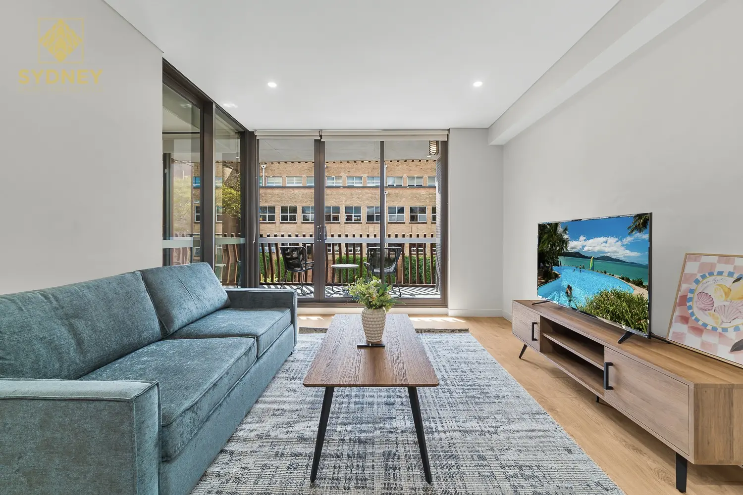
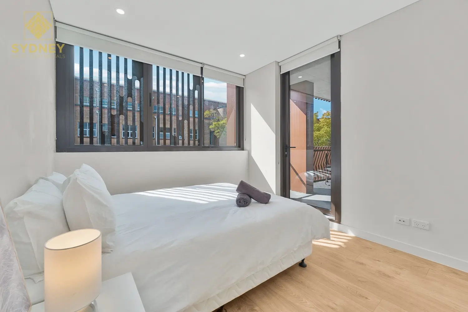
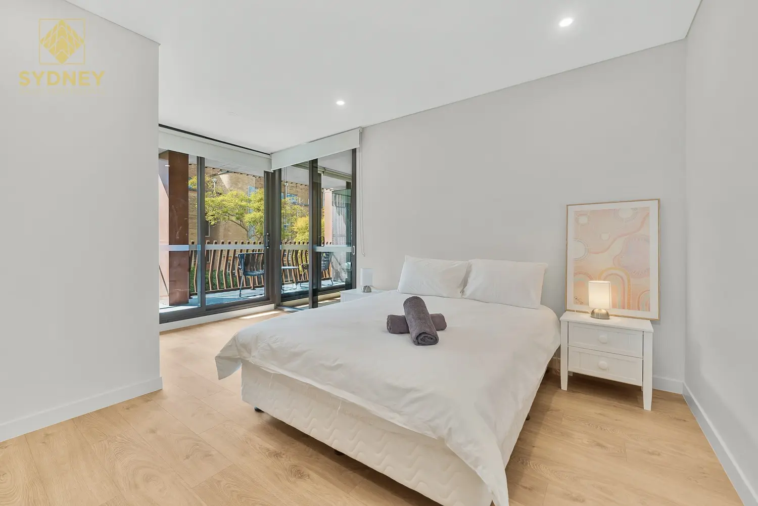
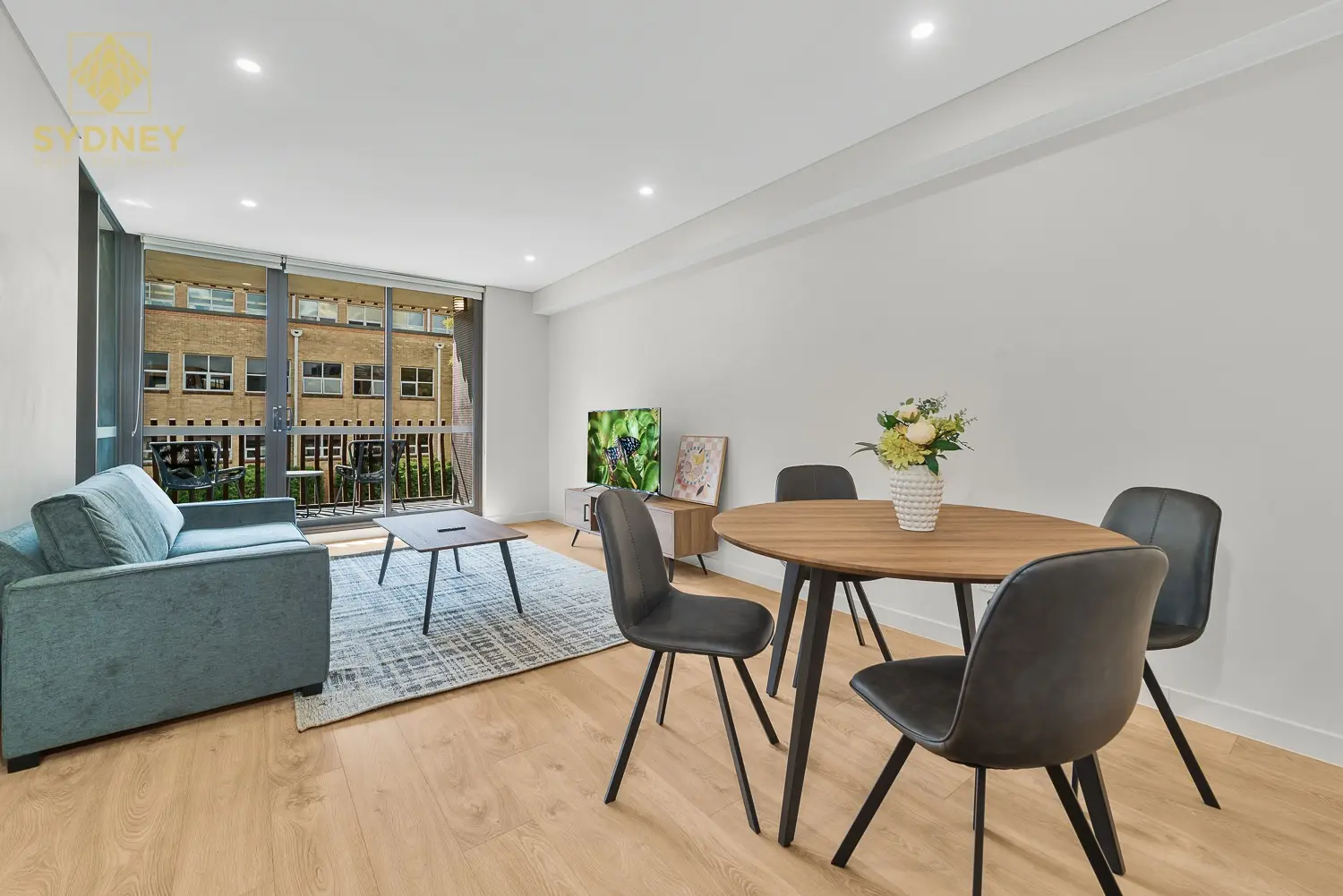
- To the city
- 8 minby Metro to Martin Place
- Eat street
- Willoughby Roadand Falcon Street
- Groceries
- Woolworthson Falcon Street
- Hospital
- Royal North Shorenext door in St Leonards
Crows Nest in 3D
Gold circles show our apartments’ approximate locations, with the shops, cafés, stops and parks near them. Choose a place to see what it is and how to get there, turn the map with two fingers or the right mouse button, or step back to see where Crows Nest sits in Sydney.
The 3D map of Crows Nest
The map’s pictures come from OpenFreeMap, which sees your internet address like any site you visit.
Each gold circle is the approximate location of our apartments there. Tap its arch for the apartments, and for dashed rings of about a 5 and a 10 minute walk. Orange lines are trains, teal the Metro, red the light rail and dashed green the ferries.
Everyday places near our apartments
Near our apartments on West Street 26 places
- Bus stopErnest St at West StUnder 5 min walk
- Bus stopErnest St after Miller StUnder 5 min walk
- RestaurantIvory ThaiUnder 5 min walk
- RestaurantRyo's NoodlesUnder 5 min walk
- SupermarketKathmandu Convenience StoreUnder 5 min walk
- Convenience storeFoodaryUnder 5 min walk
- RestaurantNew YamanishiUnder 5 min walk
- ParkCahill PlaygroundUnder 5 min walk
- PlaygroundCahill PlaygroundUnder 5 min walk
- CaféEighty Ate5–10 min walk
- Pub or barNorth Sydney Hotel5–10 min walk
- ParkAnzac Park5–10 min walk
- SupermarketHarris Farms Markets5–10 min walk
- CaféVento Espresso5–10 min walk
- PharmacyCammeray Pharmacy5–10 min walk
- CaféPattison's Patisserie5–10 min walk
- BankANZ5–10 min walk
- BakeryBakers Delight5–10 min walk
- TakeawayGrill'd5–10 min walk
- LaundromatCammeray Laundry5–10 min walk
- Post officeCammeray Post Office5–10 min walk
- LibraryStanton Library10–15 min walk
- StationCrows Nest10–15 min walk
- StationVictoria Cross15–20 min walk
- DoctorNeutral Bay Medical CentreUnder 5 min drive
- Shopping centreBig Bear VillageUnder 5 min drive
Walking and driving times are approximate, from the circles on the map. The places come from OpenStreetMap: check opening hours before you go.
Eat & drink
-
Small Bar
Wine barTapas and a strong wine list, with a courtyard.
-
Ryo's Noodles
RamenTokyo-style ramen; expect a queue at lunchtime.
-
Xenos
GreekA local institution serving Greek food since 1969.
-
Hecho en Mexico
MexicanTacos, tostadas and margaritas.
-
Bravo Trattoria
ItalianA long-running Italian for pizza and pasta.
-
Norimono
JapaneseJapanese dishes to share and sake.
-
The Stoned Crow
PubWood-fired pizzas, burgers and cocktails.
-
The Foxtrot
Cocktail barSeasonal cocktails and snacks.
Shops & everyday
-
Woolworths Crows Nest
GroceriesA full-size supermarket.
-
Unique Wholefood
GroceriesA health food and organic grocer.
-
Willoughby Road shops
EverydayPharmacies, a bakery, florists and everyday shops.
-
Royal North Shore Hospital
HospitalA major public hospital with an emergency department, a short walk away in St Leonards. In an emergency call 000.
Getting around
-
Crows Nest station
MetroMetro trains every few minutes: about 8 minutes to Martin Place, and north to Chatswood and Macquarie Park.
-
St Leonards station
TrainsTrains to North Sydney, Wynyard and Town Hall, and north to Chatswood and Hornsby, a 10-minute walk.
-
Buses
BusBuses along the Pacific Highway and Falcon Street to the city, Neutral Bay and Mosman.
-
Sydney Airport
AirportAbout 30 minutes by car or taxi.
Things to do
-
Hume Street Park
ParkA local park with a playground in the middle of the village.
-
St Leonards Park
ParkBig lawns and North Sydney Oval, about 15 minutes on foot.
-
Balls Head Reserve
Harbour walkBushland and harbour views at Waverton, a short drive away.