Burwood
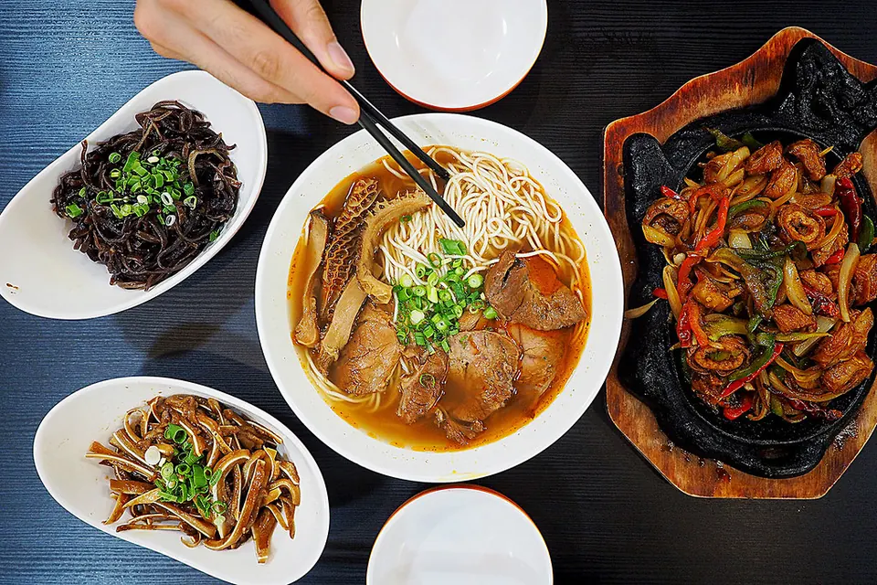
Burwood is one of the inner west's busiest centres: Burwood Road is packed with noodle houses, dumpling bars and bubble tea, Burwood Chinatown has a lively hawker precinct with night markets, and Westfield Burwood covers the everyday shopping.
Trains reach Central in about 15 minutes, Strathfield is one stop away for trains in every direction, and leafy Burwood Park is right in the middle of town.
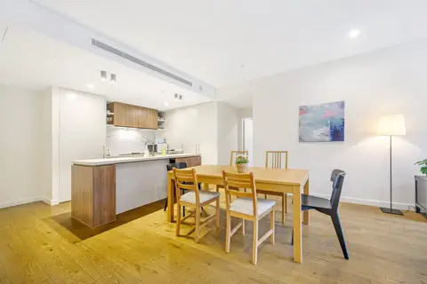
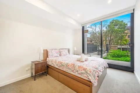
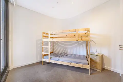
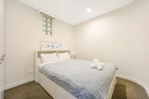
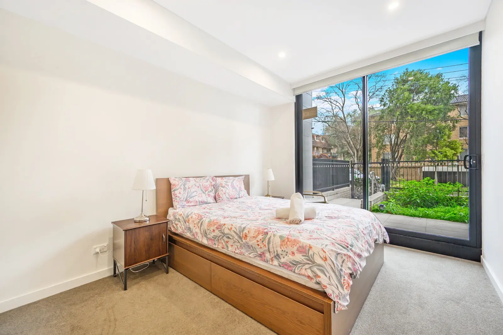
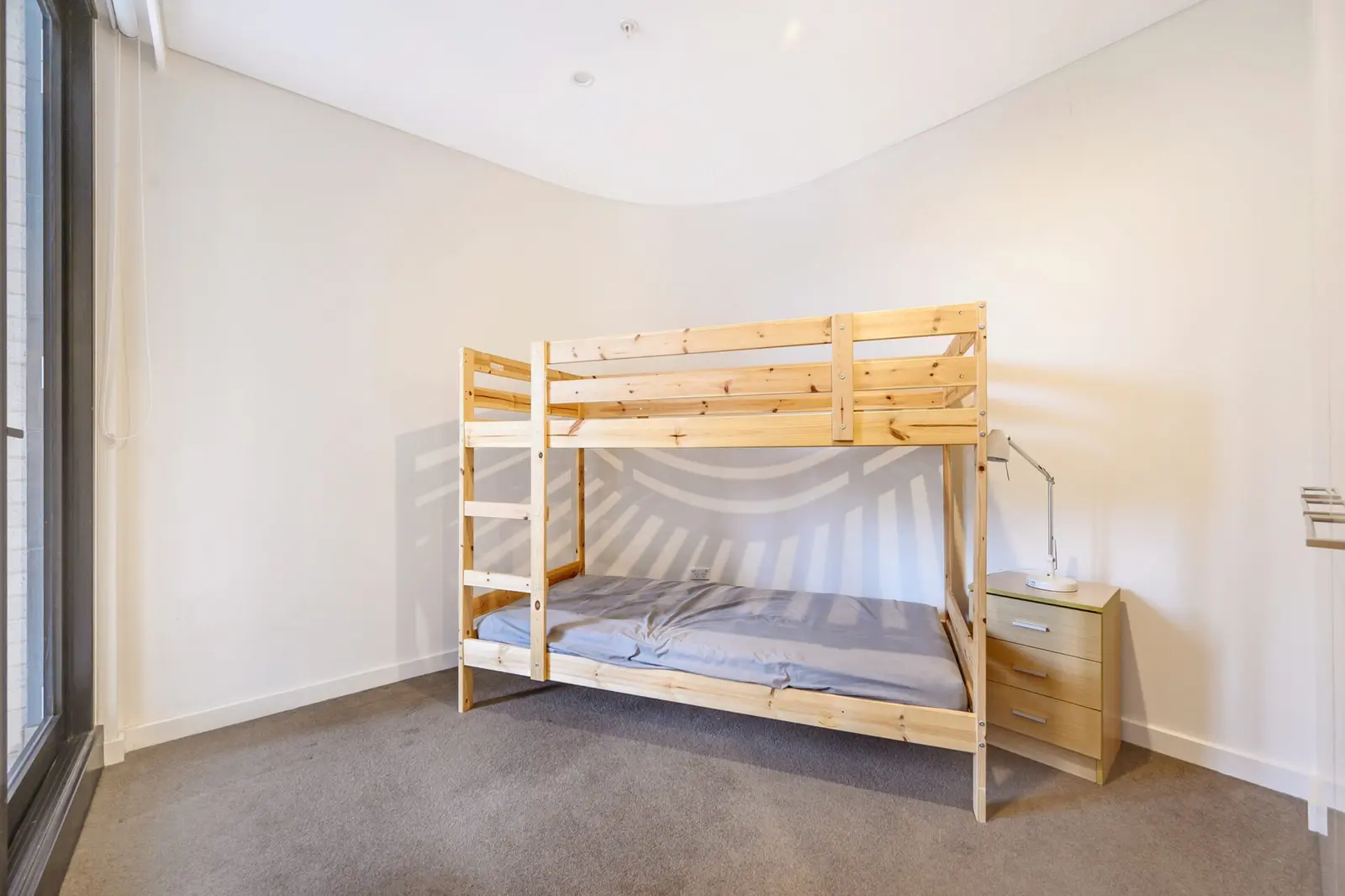
See 1 apartment in Burwood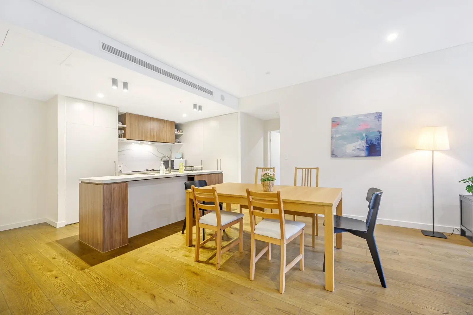
- To the city
- 15 minby train to Central
- Groceries
- Westfieldand Asian grocers
- Eat street
- Burwood Roadand Burwood Chinatown
- To the airport
- 25 minby car or taxi
Burwood in 3D
Gold circles show our apartments’ approximate locations, with the shops, cafés, stops and parks near them. Choose a place to see what it is and how to get there, turn the map with two fingers or the right mouse button, or step back to see where Burwood sits in Sydney.
The 3D map of Burwood
The map’s pictures come from OpenFreeMap, which sees your internet address like any site you visit.
Each gold circle is the approximate location of our apartments there. Tap its arch for the apartments, and for dashed rings of about a 5 and a 10 minute walk. Orange lines are trains, teal the Metro, red the light rail and dashed green the ferries.
Everyday places near our apartments
Near our apartments on Gloucester Avenue 26 places
- SupermarketMega Mart Asian SupermarketUnder 5 min walk
- DoctorMyHealth BurwoodUnder 5 min walk
- Convenience store7-ElevenUnder 5 min walk
- BankSt.GeorgeUnder 5 min walk
- PharmacyChemist WarehouseUnder 5 min walk
- Bus stopBurwood Station, Burwood Rd, Stand GUnder 5 min walk
- Pub or barAvondale HotelUnder 5 min walk
- Bus stopBurwood Station, Railway Pde, Stand BUnder 5 min walk
- RestaurantKssushiUnder 5 min walk
- RestaurantHakikiUnder 5 min walk
- TakeawayHungry Jack'sUnder 5 min walk
- SupermarketWoolworths Burwood PlazaUnder 5 min walk
- CaféChicha San ChenUnder 5 min walk
- CaféGong ChaUnder 5 min walk
- TakeawaySubwayUnder 5 min walk
- Shopping centreBurwood PlazaUnder 5 min walk
- StationBurwoodUnder 5 min walk
- CaféKing TUnder 5 min walk
- RestaurantTwo Peck Crispy ChickenUnder 5 min walk
- LibraryBurwood LibraryUnder 5 min walk
- Fruit and vegBurwood Fruit MarketUnder 5 min walk
- ParkBurwood Park5–10 min walk
- Post officeBurwood North Post Office5–10 min walk
- PlaygroundNature Play5–10 min walk
- ParkSanders Reserve5–10 min walk
- StationStrathfield10–15 min walk
Walking and driving times are approximate, from the circles on the map. The places come from OpenStreetMap: check opening hours before you go.
Eat & drink
-
Burwood Chinatown
Hawker precinctA neon-lit food precinct with dozens of stalls, and night markets from Thursday to Sunday.
-
My Aunt's Handmade Noodles
ChineseHand-pulled noodles; the biang biang noodles are the thing to order.
-
Xi'an Eatery
ChineseShaanxi noodles and dumplings at good prices.
-
Doodee King
ThaiBold Thai flavours: crispy pork belly and papaya salad.
-
Wonder Skewers
Chinese barbecueLate-night skewers to share, open until midnight.
-
Sahara by the Park
TurkishA long-running Turkish grill opposite Burwood Park.
-
Pillar
CaféA minimalist café focused on specialty coffee.
-
Kowloon Cafe
Hong Kong caféPineapple buns and Hong Kong-style French toast.
Shops & everyday
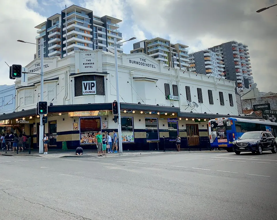
-
Westfield Burwood
Shopping centreSupermarkets, department stores, a food court and plenty of smaller shops.
-
Burwood Plaza
Shopping centreAnother Woolworths and smaller shops by the station.
-
Asian grocers
GroceriesSeveral large Asian supermarkets on and around Burwood Road.
-
Burwood Library
LibraryFree Wi-Fi, study spaces and a children's area.
-
Concord Hospital
HospitalThe nearest public hospital with an emergency department, about 10 minutes away by car. In an emergency call 000.
Getting around
-
Burwood station
TrainsFrequent trains to Central in about 15 minutes, and west to Strathfield and Parramatta.
-
Strathfield station
TrainsOne stop west: trains to the North Shore, Hornsby, the Blue Mountains and the Central Coast.
-
Buses
BusBuses along Burwood Road and Parramatta Road to the city, Concord and Five Dock.
-
Sydney Airport
AirportAbout 25 minutes by car or taxi.
Things to do
-
Burwood Park
ParkA big Victorian-era park with a playground, rose garden and walking paths.
-
Bicentennial Park and Sydney Olympic Park
ParksWetlands, cycling paths and stadiums, about 15 minutes away.
-
Strathfield's Korean eateries
FoodOne stop away, The Boulevarde is Sydney's best-known Korean eat street.