Bondi Junction
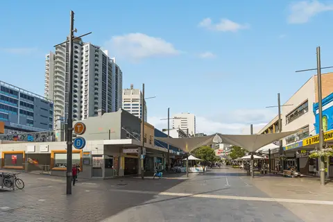
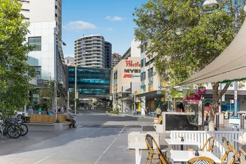
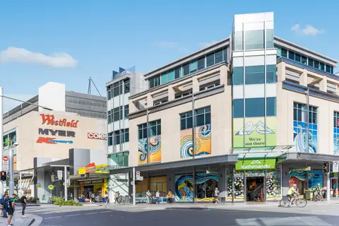
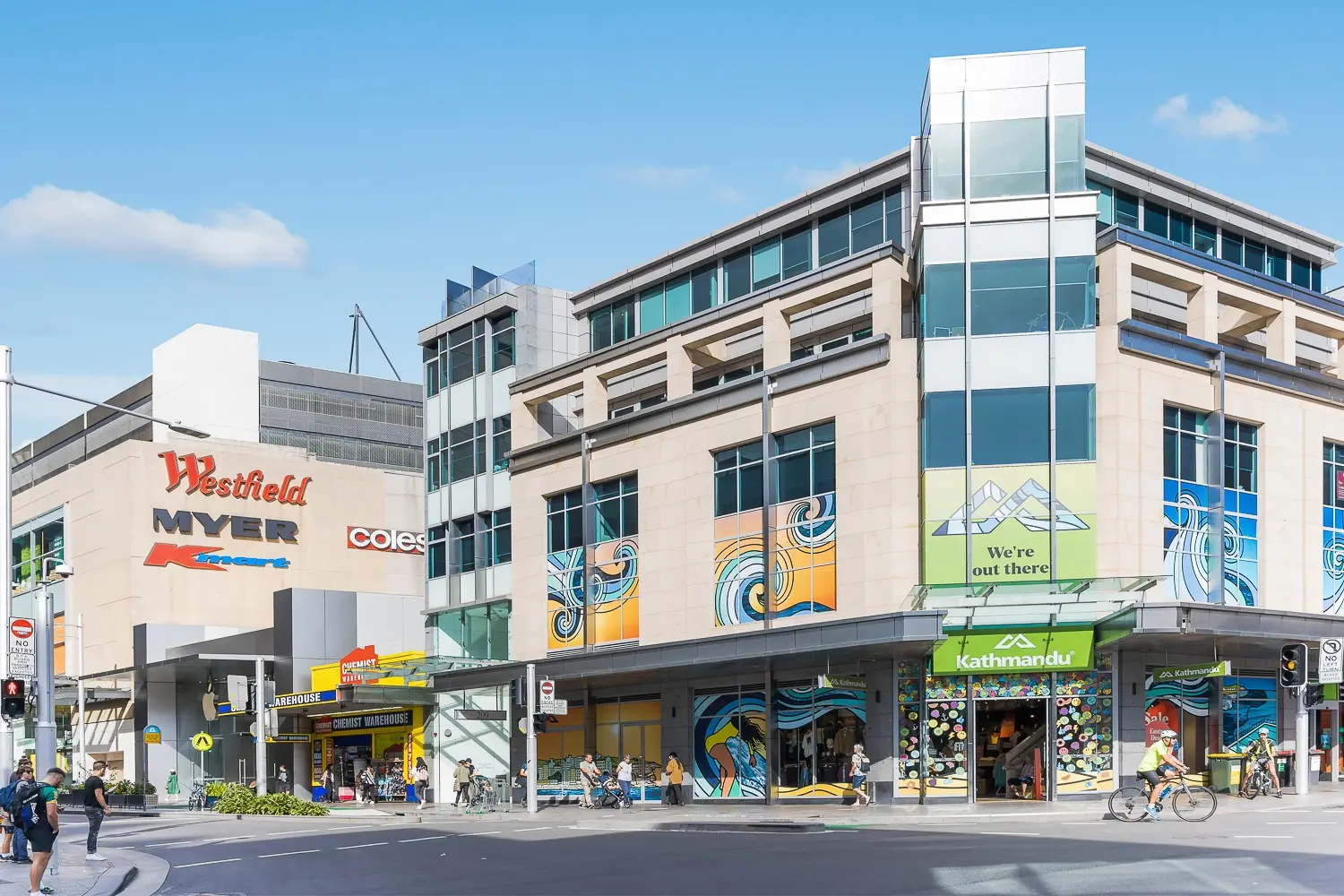
Bondi Junction is the eastern suburbs' hub: one of Sydney's biggest shopping centres, a pedestrian mall on Oxford Street, and the end of the T4 line, about 10 minutes from Martin Place.
Bondi Beach is a 10-minute bus ride away, and Bronte, Tamarama and the coastal walk are close too, so it suits anyone who wants the beaches and an easy trip to work.
See 1 apartment in Bondi Junction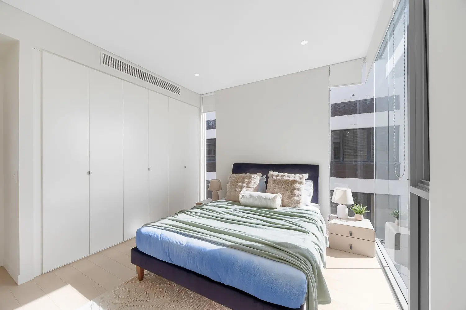
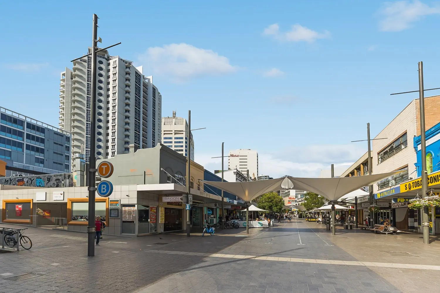
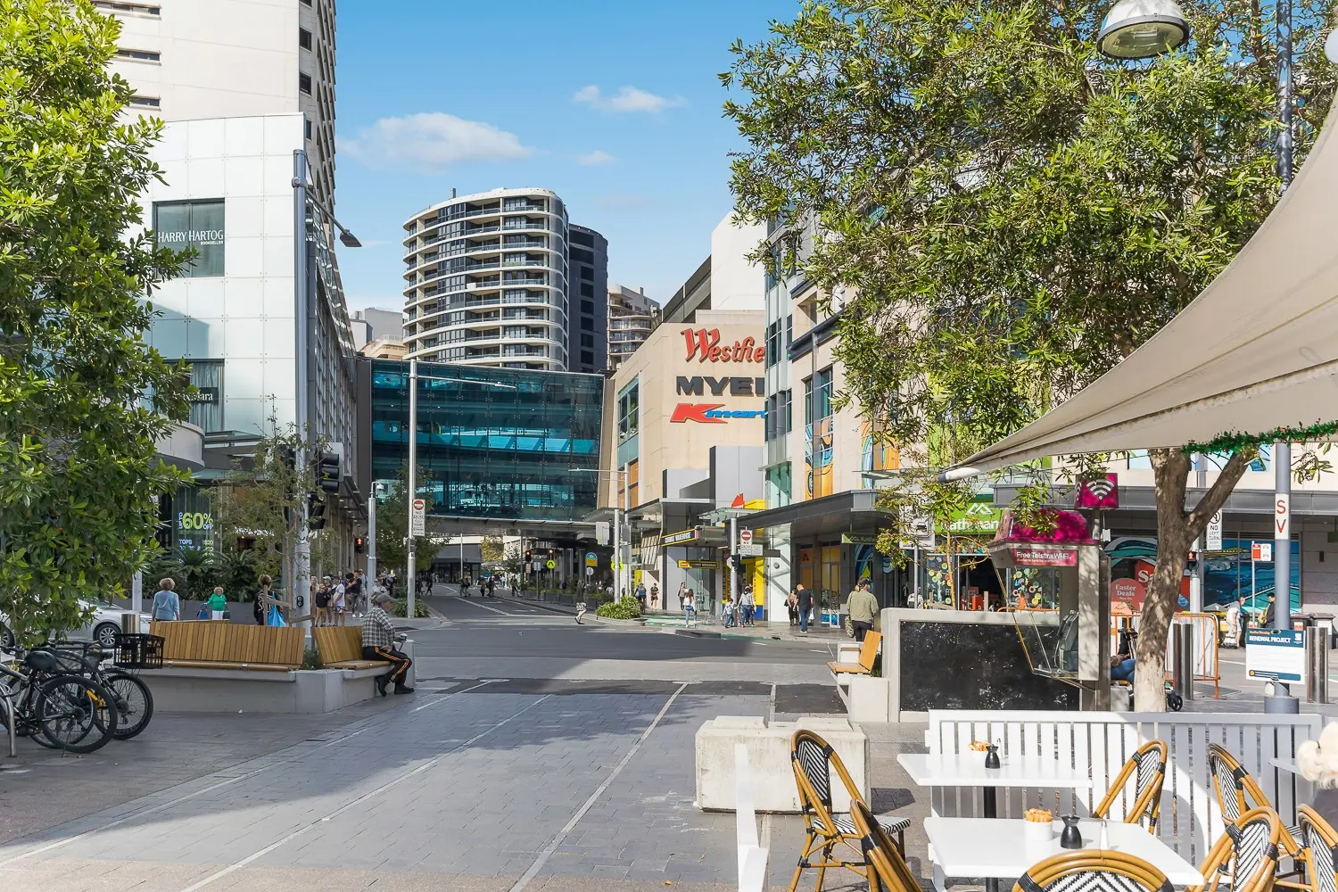
- To the city
- 10 minby train to Martin Place
- To Bondi Beach
- 10 minby bus
- Groceries
- WestfieldWoolworths, Coles, Harris Farm
- To the airport
- 25 minby car or taxi
Bondi Junction in 3D
Gold circles show our apartments’ approximate locations, with the shops, cafés, stops and parks near them. Choose a place to see what it is and how to get there, turn the map with two fingers or the right mouse button, or step back to see where Bondi Junction sits in Sydney.
The 3D map of Bondi Junction
The map’s pictures come from OpenFreeMap, which sees your internet address like any site you visit.
Each gold circle is the approximate location of our apartments there. Tap its arch for the apartments, and for dashed rings of about a 5 and a 10 minute walk. Orange lines are trains, teal the Metro, red the light rail and dashed green the ferries.
Everyday places near our apartments
Near our apartments on Oxford Street 25 places
- CaféPaleo CaféUnder 5 min walk
- LaundromatSterling LaundryUnder 5 min walk
- CaféTemaki BarUnder 5 min walk
- Bus stopOxford St after Newland StUnder 5 min walk
- Bus stopOxford St opp Denison StUnder 5 min walk
- ParkSaber St ReserveUnder 5 min walk
- Convenience storeWild Bean CafeUnder 5 min walk
- Pub or barThe Mill Hill HotelUnder 5 min walk
- TakeawayDomino'sUnder 5 min walk
- TakeawaySushiUnder 5 min walk
- CaféCoffee ExpressUnder 5 min walk
- PharmacyChemist WarehouseUnder 5 min walk
- BankANZUnder 5 min walk
- RestaurantViet SensesUnder 5 min walk
- StationBondi JunctionUnder 5 min walk
- RestaurantIchiban BoshiUnder 5 min walk
- SupermarketJust Organics Fruit & VegUnder 5 min walk
- SupermarketSummit Asian SupermarketUnder 5 min walk
- RestaurantChilli HomeUnder 5 min walk
- LibraryWaverley libraryUnder 5 min walk
- Shopping centreEastgate Bondi JunctionUnder 5 min walk
- DoctorBondi Medical CentreUnder 5 min walk
- ParkHarbourview ParkUnder 5 min walk
- BakeryThe Baker From Jaffa5–10 min walk
- Post officeBellevue Hill Post OfficeUnder 5 min drive
Walking and driving times are approximate, from the circles on the map. The places come from OpenStreetMap: check opening hours before you go.
Eat & drink
-
The Cook and Baker
Bakery caféExcellent coffee, croissants and pastries.
-
Osteria Riva
ItalianHouse-made pasta and grills in a small restaurant.
-
Mappen Noodle Bar
JapaneseQuick, good-value udon and tempura.
-
Bambusia
ChineseA long-standing favourite for classic Chinese dishes to share.
-
The Nelson Hotel
PubA relaxed pub with a bistro and sport on the screens.
-
The Mill Hill Hotel
PubA restored historic pub, good for a drink after work.
-
Spring Street Social
BarA bar with live music and a good beer list.
Shops & everyday
-
Westfield Bondi Junction
Shopping centreWoolworths, Coles and Harris Farm, department stores, a cinema and a food court, over the station. Aldi is across the road at Eastgate.
-
Oxford Street Mall
ShopsA pedestrian street of shops, cafés and banks.
-
Stenlake Compounding Chemist
PharmacyA large independent pharmacy.
-
Waverley Library
LibraryFree Wi-Fi, study spaces and events.
-
St Vincent's and Prince of Wales hospitals
HospitalsThe nearest emergency departments are at St Vincent's in Darlinghurst and Prince of Wales in Randwick. In an emergency call 000.
Getting around
-
Bondi Junction station
TrainsThe end of the T4 line: about 10 minutes to Martin Place and 15 to Central, under the shopping centre.
-
Bus interchange
BusAbove the station: frequent buses to Bondi Beach, Bronte, Coogee, Watsons Bay and the city.
-
Sydney Airport
AirportAbout 25 minutes by car or taxi; by train, change at Central or Sydenham.
Things to do

-
Bondi Beach
BeachSydney's most famous beach, 10 minutes away by bus.
-
Bondi to Coogee coastal walk
WalkCliff-top paths past Tamarama, Bronte and Clovelly.
-
Centennial Park
ParkSydney's big park for running, cycling and picnics, a short drive west.
-
Waverley Park
ParkA local park with sports fields and walking paths.